
The Brief
Southern California is shifting from the recent warm trend to significantly cooler weather starting mid-week.
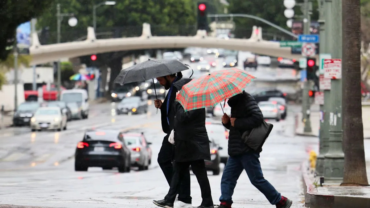
A chance of rain is expected to develop across the region, including the mountains and inland valleys, by Thursday and Friday.
The latest forecast predicts up to two feet of snow in the Sierras.
LOS ANGELES – Southern California is bracing for a significant weather pattern change this week, transitioning from warm, above-average conditions to much cooler temperatures and a chance of rain by Thursday, according to the National Weather Service.
Timeline
What we know
Monday: Temperatures are predicted to be 5 to 15 degrees above normal, with widespread 80s and 90s statewide, according to the latest weather forecast. Los Angeles could hit 90 degrees and Palm Springs is poised for 92 degrees. According to the NWS, weak Santa Ana winds are contributing
Tuesday: Cooler conditions begin, though highs remain slightly above average. Coastal areas will reach up to 80 degrees.
Mid-week: The marine layer deepens, reducing the chance of coastal fog and spreading cooler conditions inland. High temperatures west of the mountains will return to near-normal levels by Wednesday.
Thursday through Next Weekend: Temperatures across the region will drop substantially, and a chance for rain will develop. This is also when the best chance for snow will unfold, with snowfall totals likely to be from one to two feet at elevations of 7,000 or 8,000 feet and above.
According to the National Weather Service, weak Santa Ana winds are contributing to the warmth in Southern California but are not expected to significantly heighten wildfire risk due to higher humidities.
Forecasters suggest there could be off-and-on rain chances into Saturday afternoon.
What we don’t know
The NWS said there is still some uncertainty regarding the storm. The latest models predicting future weather are presenting a range of possibilities for the total amount and exact timing of the rain, and the projects could change in the coming days, forecasters warned.
The Source
This article is based on information from the National Weather Service.