

Meteorologist/Climate Reporter
NorCal forecast: Warm for a while. Here’s which days will be hottest.
Clouds and onshore breezes will keep temperatures in check for a bit, but eventually some days may hit the upper 90s in the Valley.
Meteorologist/Climate Reporter
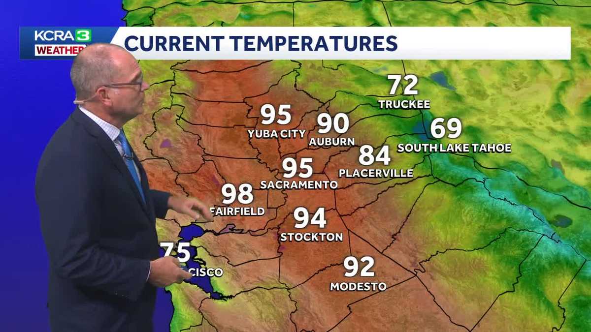
Temperatures bounced much higher on Tuesday afternoon with strong sun and a dry north breeze.
Overnight temperatures will be slow to cool, but Valley temperatures will eventually drop into the upper 50s to start Wednesday.
The marine layer and a light onshore breeze will be back for a few days. That means comfortable mornings but very warm afternoons through Friday.
The weekend will be hotter with Valley highs in the mid to upper 90s and scattered clouds. this pattern will continue into the early part of next week.
Wednesday’s forecast
Wednesday morning will be mild with light winds and bright sun. The marine layer will slowly fill back in at the coast and help keep temperatures down a bit there. The onshore breeze will be fairly weak in the afternoon, but it will be enough to keep highs a couple degrees lower than Tuesday.
Temperature trend
Hotter days are here to stay. The first few hours of the day will be comfortable.
September so far
Believe it or not, most of California experienced overall cooler than average weather for the month of September. This will be Sacramento’s first cooler than average month since October 2025.
Long range temperature outlook
NOAA’s Climate Prediction Center continues to highlight a strong likelihood that this very warm pattern will continue for the entire West into the middle of October.
Foothills & Sierra 7 day forecast
A summerlike feel is back for the Foothills and Sierra, too. This does mean warmer mornings along Highway 49.
Valley 7 day forecast
Clouds will help block the sun and keep things a little milder on Friday, but temperatures will jump again this weekend.