
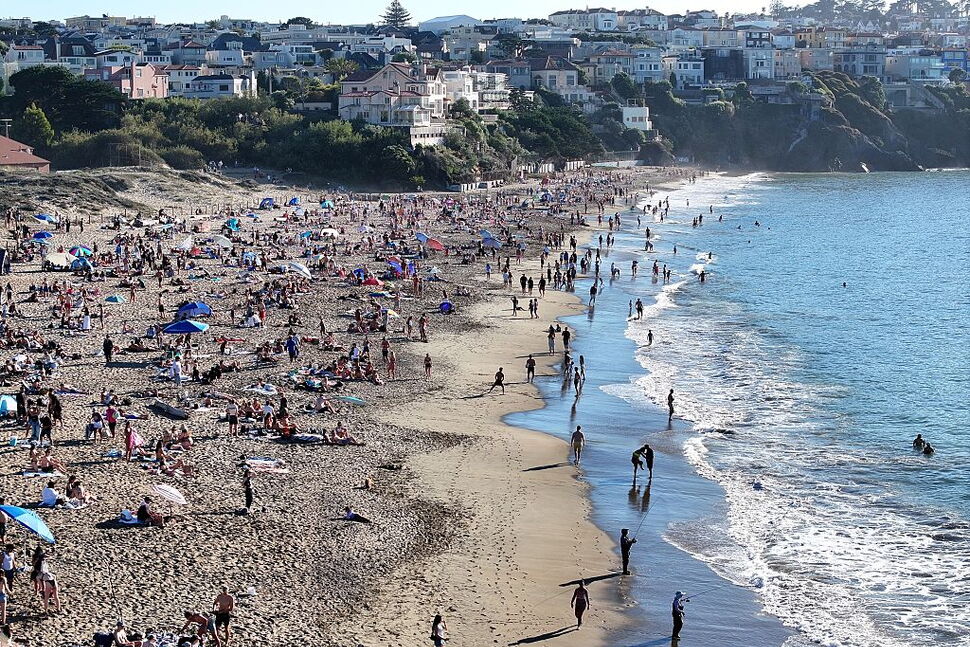
Temperatures are surpassing 100 degrees in some places in California as a dangerous October heat wave continues through the week, affecting more than 35 million people.
Make Your Inbox SmarterSign up for these free email newsletters from U.S. News:
Pick Newsletters
The fall heat wave began Oct. 2, spreading across the state from San Francisco to the Mexican border. Temperatures are expected to reach 15 to 20 degrees above normal for this time of year, according to the National Weather Service in Los Angeles.
Overnight temperatures will provide little relief through the heat wave, as lows are expected to stay in the mid to upper 70s in the Los Angeles and San Diego urban areas.
Where Has It Hit the Hardest?
A majority of California residents are feeling the effects of the unseasonal weather. Heat records are being broken daily. Here are the record-breaking high temperatures as of Oct. 4:
Downtown Los Angeles: 102 degrees
Long Beach Airport: 100 degrees
University of California, Los Angeles: 99 degrees
Burbank Airport: 101 degrees
Woodland Hills: 102 degrees
Palmdale: 95 degrees
Lancaster: 96 degrees
Camarillo: 100 degrees
Oxnard: 99 degrees
Santa Barbara: 97 degrees
Santa Maria: 93 degrees
Paso Robles: 103 degrees
Sandberg: 85 degrees
Los Angeles and San Diego remain under an extreme heat warning. On Sunday, heat advisories were issued for San Francisco and Sacramento.
How Long Is It Supposed to Last?
The dangerously hot conditions are expected to last in the San Diego and Los Angeles/Oxnard regions until 8 p.m. Thursday. The extreme heat warning in Las Vegas – the longest-running and most extreme – will last through 8 p.m. Friday. Northern California is under a heat advisory, a tier below an extreme heat warning, that will last through 10 p.m. Wednesday.
The heat wave will continue to spread northeastward across the Great Basin and into the Northern Rockies, where high temperatures will reach the upper 80s, roughly 10 degrees above the normal October average. Temperatures are expected to reach the upper 80s in southern Idaho, Montana and Denver on Monday.
Why Is This Happening?
Heat waves develop when a strong area of high pressure settles over a region and stays there for a few days. High pressure causes air to sink, and as it sinks, it warms. According to the National Weather Service office in Los Angeles, the current heat wave in California is driven by a strong high-pressure system over the eastern Pacific and the West Coast.
The weather service said the system is expected to “maintain its grip over the region” and that an offshore pressure gradient is the main driver pushing the heat to the coast. Gradual cooling is expected early on and will accelerate later in the week.
What Impact Has It Had So Far?
The National Weather Service office in Los Angeles warned of an increased fire risk due to extreme heat, intense wind gusts and low humidity for the northern Rockies and the northern High Plains. A wind advisory was in place Sunday, with gusts forecast up to 30 mph.
The warnings said there is a high risk of heat illness for most people, including sensitive populations, which were identified as the very young, very old, those without air conditioning and those active outdoors.
The weather service suggested that to stay safe during the heat wave, residents limit their outdoor activities to early morning hours, utilize air conditioning, check on their loved ones and stay hydrated.