
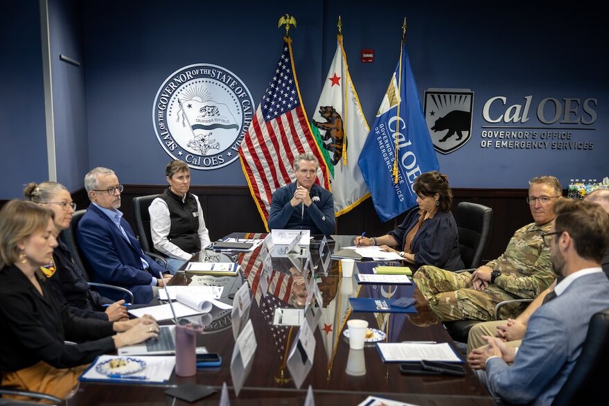
SAN FRANCISCO — California Gov. Gavin Newsom announced plans Oct. 6 to integrate Iceye satellite-derived flood and wildfire observations into the state’s emergency plans for winter weather.
To continue reading this article:
Register now to read
3 free articles this month.
You’ll also receive our weekly Editor’s Choice, SpaceNews This Week and Opinions newsletters. Opt-out at any time.
Sign in to an existing account

Debra Werner is a correspondent for SpaceNews based in San Francisco.
Debra earned a bachelor’s degree in communications from the University of California, Berkeley, and a master’s degree in Journalism from Northwestern University. She is a recipient…
More by Debra Werner