
Winter is coming, and it looks warm and wet in California, according to new data.
In a winter outlook published on Thursday, the National Oceanic and Atmospheric Administration provided national temperature and precipitation forecasts for December, January and February.

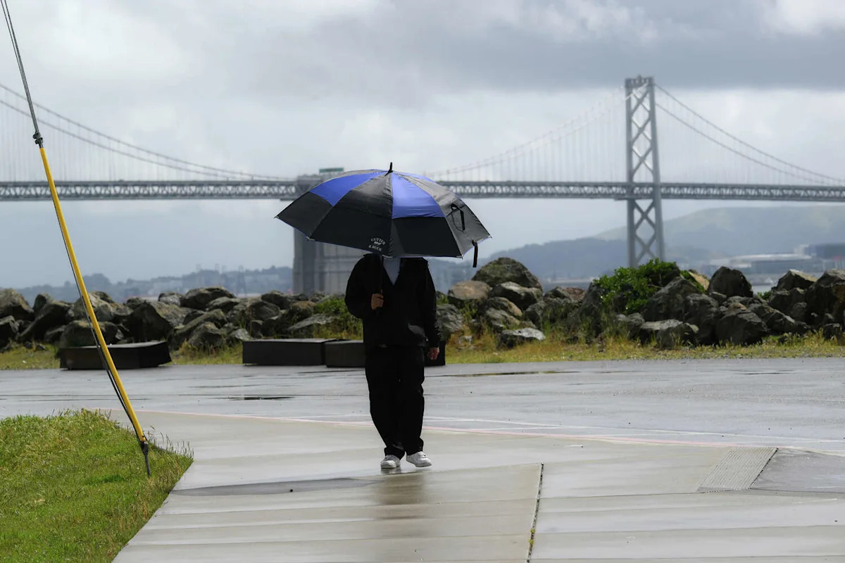
Huge clouds over the city as seen from Treasure Island during heavy rain in San Francisco on April 12, 2026. (Anadolu/Tayfun Coskun/Getty Images)
The new outlook features how El Niño, the climate phenomenon that emerged in June and could reach historic strength this year, will influence winter weather.
“As we know from decades of observations, a very strong El Nino will likely bring a southward and eastward shift to the jet stream for the contiguous U.S., which tilts the odds toward stormier weather across the South,” Ken Graham, director of NOAA’s National Weather Service, said in a statement. “While higher chances of rain and snow may bring relief to drought-afflicted areas, too much precipitation on dry soil can fuel destructive flash floods and mudslides. Now is the time for communities and individuals to plan ahead for the upcoming winter.”

The 2026-2027 U.S. Winter Outlook map for precipitation. (NOAA)
In California, meteorologists have expected El Niño to tip the odds in favor of a wetter season, especially in the southern part of the state. Sure enough, the outlook shows a 50% to 60% chance that there will be above-normal precipitation for much of California, from the Bay Area to the southern border. North of the Bay Area, that probability drops to 40% to 50%; and in the northern-most sliver of the state, it’s 33% to 40%.
Regarding temperature, the outlook generally expects Northern California and some of the southern coastline to trend warm. But temperatures in the southernmost region will be a toss-up. For the snowpack, warmer-than-normal temperatures could mean the precipitation falls as rain instead of snow at lower and middle elevations. But higher elevations could build a significant snowpack.

The 2026-2027 U.S. Winter Outlook map for temperature. (NOAA)
Daniel Swain, a climate scientist for the University of California’s Agriculture and Natural Resources group, offered his own assessment of the winter ahead, using a variety of data, on Monday. The likelihood of a wetter-than-average winter in California is “extremely high by historical standards,” he wrote, with odds greater than 90% statewide.
As El Niño continues to gather strength in the tropics, it has already started showing up in California’s seas – but its peak weather impacts have yet to arrive. Swain says that will likely happen around December and persist through at least March 2027.
“Do not be surprised if October, and even November, are fairly unremarkable with respect to storm activity in California and the Southwest; it could be wet, it could be dry, and right now there’s just not much signal either way,” Swain wrote. “But what happens this autumn has no bearing whatsoever on what is increasingly likely to occur this coming winter.”
More El Niño
– Here’s what the ‘extraordinary’ new El Niño forecast means for California
– Dallas Raines, California’s happiest weatherman, is worried
– Planetary waves are creeping into California right now
– El Niño is already swallowing Orange County’s famous beaches
Get SFGATE’s top stories sent to your inbox by signing up for The Daily newsletter here.
This article originally published at Warm, wet winter in store for California. Here’s what to know..