
BAKERSFIELD, Calif. (KBAK/KBFX) —
WARMTH LESSENS MONDAY-TUESDAY
Sunday came in with a high of 91 in Bakersfield, which is considerably higher than the mid-October average of 79. The heat that was a fixture of the region recently will be replaced by a very different weather pattern altogether in the days to come. Monday is still expected to be on the warm side, but South Valley highs should be a handful of degrees cooler than today’s, and that downward trend continues even more into Tuesday.
DEVELOPING STORM AHEAD
Tonight, there is a potent mid-latitude cyclone developing over the North Pacific, just west of Washington state. A very robust jet stream, with winds of close to 200 mph, is currently being analyzed riding around a ridge of high pressure between Hawaii and Alaska and a trough of low pressure off of the British Columbia coast.
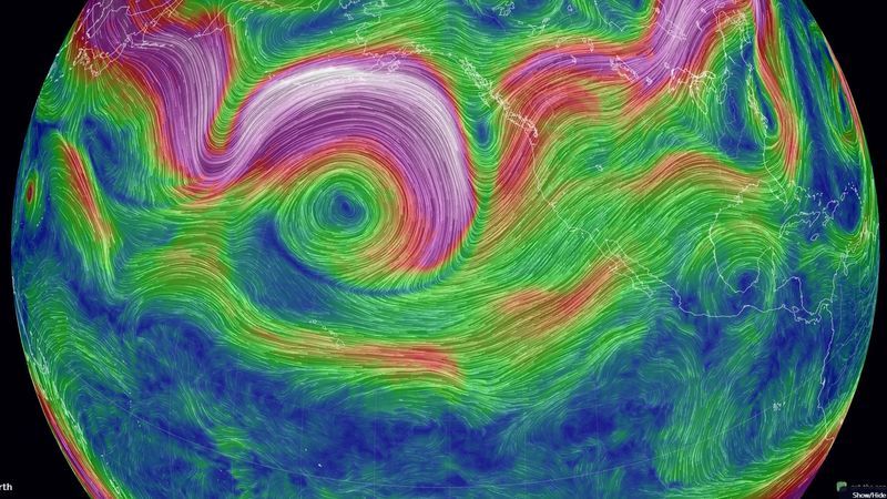
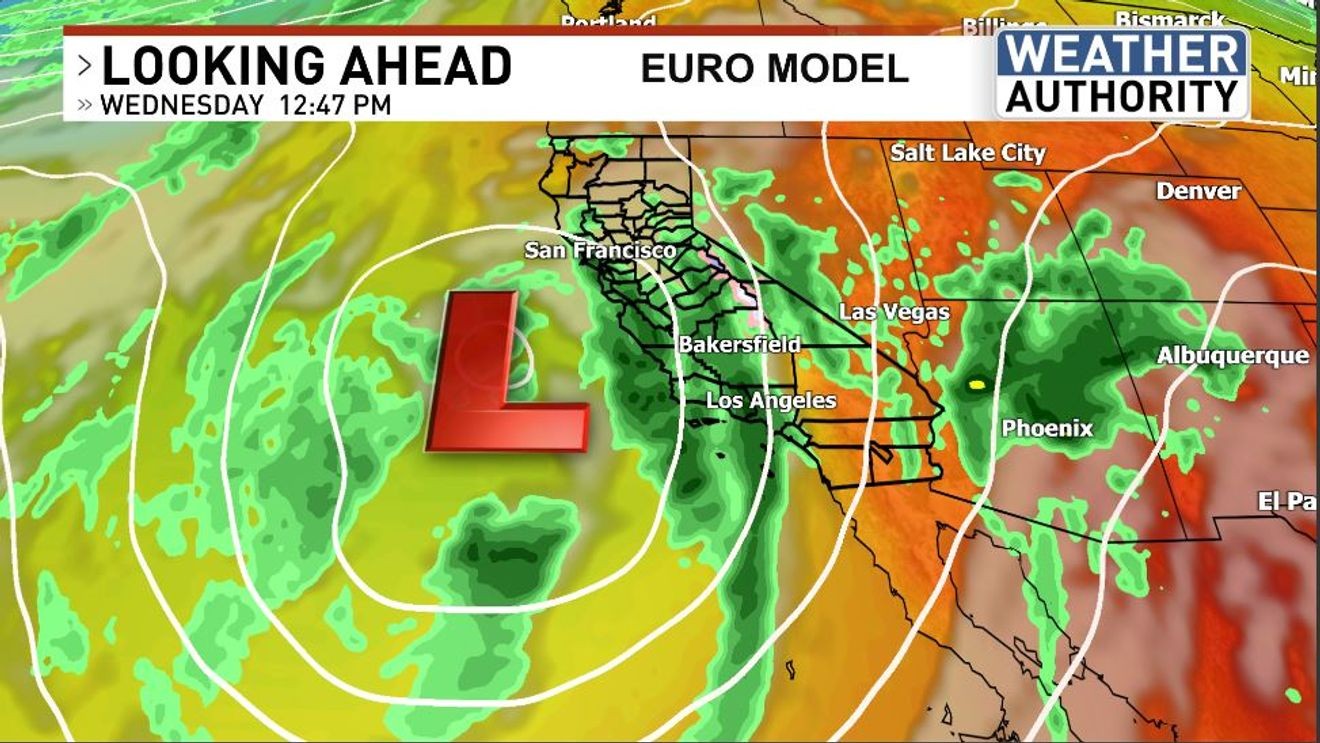
There is a nearly unanimous agreement between many different atmospheric model runs that this jet stream will continue to dig a very deep, and impressive-for-this-time-of-year trough, due south over the coming 2 to 3 days. By Wednesday, a dynamic upper-level low is expected to sit just west of the central California coast, placing much of central and southern California in a favorable region for atmospheric lift in synchronization with ample moisture. In addition, cold air aloft and favorable mid- and upper air wind patterns will provide a strong dose of instability with this setup.
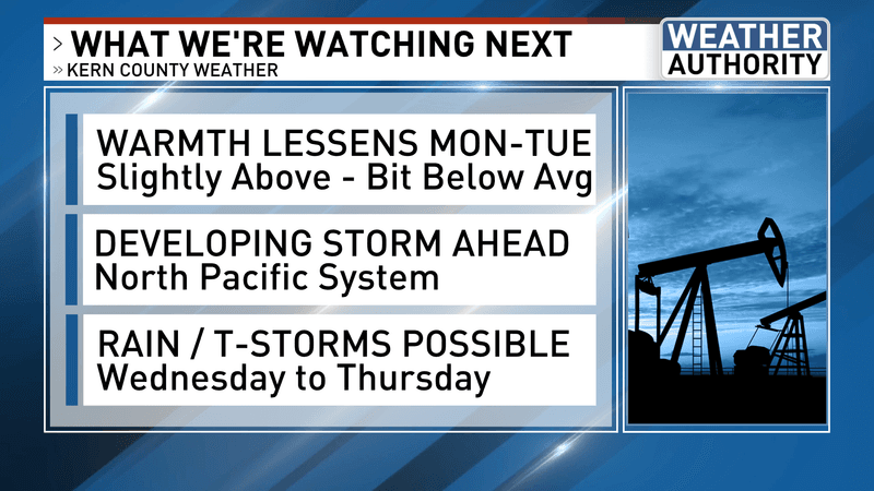
RAIN & THUNDERSTORMS POSSIBLE
Forecast confidence is high in a widespread wet Wednesday from the Bay Area south toward San Diego. The aforementioned atmospheric pattern does indicate that areas of moderate to heavy-at-times rain will be likely, and the combination of rising air, significant amounts of Pacific moisture, and an increasingly unstable airmass will spell a high potential for embedded thunderstorms where these conditions overlap. It’s still a bit early to know what areas will experience the most significant impacts, so it’s a good idea to check back in as more information, including higher-resolution forecast data, becomes available.
Have a great new week!
Chief Meteorologist Ilya Neyman