
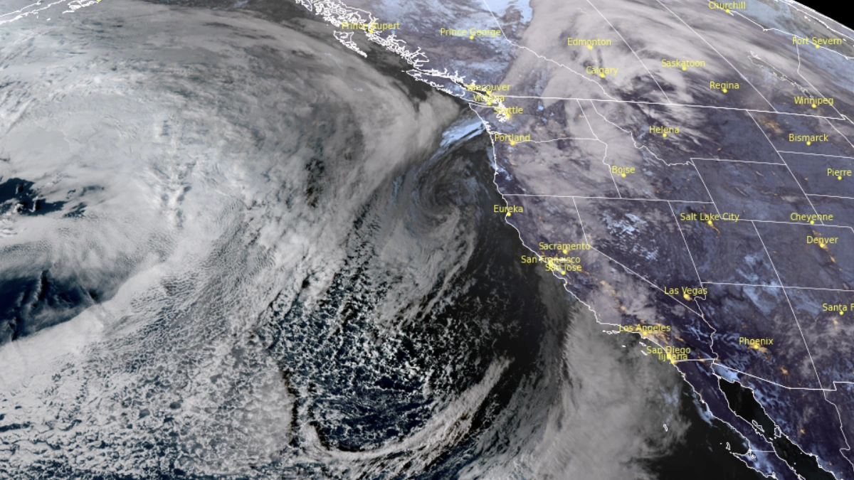
A multi-day atmospheric river is affecting California, with peak impacts on November 13–14. High integrated vapor transport values of the event brought moderate to strong AR conditions in parts of the state, producing sustained moisture transport, heavy rainfall and localized flooding.
Los Angeles County issued evacuation warnings for residents living near several burn-scar areas, including Canyon, Bethany, Eaton, Palisades, Hurst, Kenneth, Sunset, Lidia, Franklin, and Bridge.
The locations contain steep slopes and soils destabilized by recent wildfire activity, increasing susceptibility to debris flows during short-duration high-intensity rainfall. County officials advised residents to remain alert for changing conditions as successive rainfall bands moved across the region.
Coastal and valley areas were forecast to receive heavy rainfall, with localized totals of 100–250 mm (4–10 inches) being expected.
Video courtesy: CW3E
Forecasts from CW3E show heavy rainfall for the Santa Ana watershed, with exact totals depending on storm track, moisture plume positioning, and orographic enhancement. Higher elevations in the Sierra Nevada are forecast to see significant snowfall as colder air wraps into the system during its later phase.
The National Weather Service (NWS) and the Weather Prediction Center (WPC) issued marginal and slight excessive-rainfall outlooks covering parts of central and southern California during the event window.
The advisories reflected increased flash-flood potential where soils were saturated or where burn-scar hydrology accelerated runoff. Short-term forecasts highlighted the possibility of brief but intense rainfall rates embedded within the atmospheric river core.
Video courtesy: CW3E
State officials pre-deployed emergency resources to Los Angeles, Orange, and Ventura counties to support debris-flow mitigation, community notifications, and rapid response operations.
Although the atmospheric river began to weaken as it shifted eastward, additional rainfall bands were expected to sustain localized flood hazards into the weekend.