
Southern California is getting a brief break from Saturday’s powerful atmospheric river, but more rain is on the way Monday as another storm system moves into the region, forecasters said Sunday.
The National Weather Service released updated rain totals showing widespread 2–5 inch accumulations across Los Angeles, Ventura, Orange, San Bernardino and Riverside counties over the last 48 hours. Some of the highest totals included 5.52 inches at Mount Baldy, 4.96 inches in Camarillo, 4.93 inches in Ojai, 4.80 inches at Santa Anita Dam and 4.69 inches at San Gabriel Dam. Many foothill and valley communities saw between 2 and 4 inches.
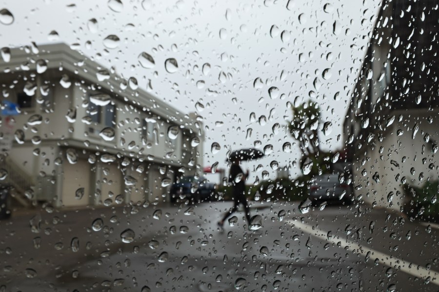
KTLA’s Kacey Montoya said Sunday’s showers will be far lighter than Saturday’s torrential downpours, but scattered rainfall will continue through the early afternoon, especially in Malibu, Ventura County, the San Fernando Valley, Orange County and parts of the Inland Empire.
“We’ll get a break tonight,” Montoya said, “before the next system moves in tomorrow. It’s colder, and it will bring significant rain — but not as much as what we saw yesterday.”
More rain expected Monday
A new storm system will arrive Monday morning, bringing several hours of moderate to heavy rain across the Los Angeles Basin, Ventura County, Orange County and the Inland Empire. Rainfall rates could reach half an inch per hour, enough to produce minor flooding in low-lying or poor-drainage areas. No evacuation warnings or orders have been issued for the upcoming week as of Sunday afternoon.
“Models don’t agree on exactly when this starts, but once it does, just know this moderate to heavy rain is going to last for several hours,” said Montoya.
Los Angeles and Ventura counties are expected to see the first wave before the storm pushes east into the mountains and deserts by late afternoon. Scattered showers may linger into Tuesday morning before conditions dry out Wednesday.
From Sunday night through Monday night, most coastal and valley communities could see another half-inch to three-quarters of an inch of rain.
Snow, fog and hazardous mountain roads
In the San Bernardino Mountains, KTLA’s Erin Myers reported foggy, slushy roads Sunday morning near Highway 18 and Old Waterman Canyon Road. Several residents described rocks and mud on the roadway following the weekend storm.
Temperatures dropped quickly overnight Saturday, allowing nearly 2.5 inches of new snow to fall above 6,500 feet. The NWS said more snow is possible as colder air arrives with the next system, estimating snow levels above 7,000 feet on Monday, falling to 5,000 to 6,000 feet by Monday night, and around 4,500 feet on Tuesday.
“Snow accumulations of 1-3 inches likely above 6,000 feet,” the report said.
Chains may be required in some mountain areas, and Caltrans recommends preparing vehicles with blankets, flashlights, chargers and emergency supplies.
Saturated soil, strong winds may cause more downed trees
Montoya said winds of 30–35 mph in desert and mountain areas, combined with saturated soil, could lead to more downed trees or power lines through the remainder of Sunday.
Coastal waters are also under multiple Small Craft Advisories through midweek, with hazardous sea conditions and a slight chance of thunderstorms offshore.
Another rain chance later this week
Southern California will dry out Wednesday before another potential system approaches Friday, bringing the possibility of additional showers.
Residents are encouraged to monitor weather updates and check road conditions, especially in areas prone to rockslides and debris flows.
Copyright 2025 Nexstar Media, Inc. All rights reserved. This material may not be published, broadcast, rewritten, or redistributed.
For the latest news, weather, sports, and streaming video, head to KTLA.