
After days of downpours and cooler-than-normal temperatures, Southern California will see one more round of wet weather this week as the final storm in the current cycle moves in Thursday and Friday, according to the National Weather Service.
Compared to the weekend and beginning of the week, Wednesday brought a break in the pattern with sunshine and temperatures about 10 degrees below normal. However, forecasters say the dry weather will be brief, with rain chances rising late Wednesday night before the next system arrives.
Forecasters expect about half an inch to an inch of rain for coastal and valley areas, and up to 2 inches in the foothills and mountains, with higher totals possible depending on the storm’s track. Because the storm is expected to hug the coastline, areas south of Point Conception could see the highest rainfall totals.
Rain is expected to begin developing Thursday morning, becoming more widespread Thursday afternoon and continuing into Friday morning. Thunderstorms are also possible, which could briefly increase rainfall rates and lead to minor flooding, especially on canyon roads or in areas with saturated ground. Mudflows and rockslides remain a concern near recent burn scars.

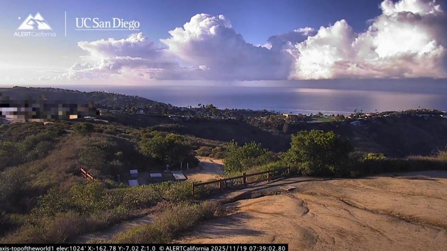
Showers are seen off the Laguna Beach coastline. November 2025. (ALERTCalifornia/UC San Diego via Storyful)
The National Weather Service has issued several winter alerts ahead of the storm. A Winter Weather Advisory goes into effect Thursday morning for the Ventura County mountains, where up to 6 inches of wet snow is expected above 6,000 feet. A Winter Storm Watch is also in place for the San Gabriel, San Bernardino and Riverside County mountains from Thursday into Saturday, with 5 to 16 inches of snow possible at the highest elevations and hazardous travel likely during the Thursday evening and Friday morning commutes.
A High Surf Advisory will also take effect Thursday along the Central Coast and spread into Ventura County by early Friday, with 6 to 16 foot waves and dangerous rip currents expected through the weekend.
L.A. County Public Health is urging residents to avoid ocean water near storm drains, creeks and rivers due to elevated bacteria levels from recent runoff. The beach-water advisory remains in effect through at least Saturday, Nov. 22 at 8 a.m., and may be extended if rain continues.
Conditions should dry out Friday evening, with a mild warm-up expected this weekend. Another weak system could reach the region early next week, but forecasters say confidence remains low.
Iman Palm contributed to this report.
Copyright 2025 Nexstar Media, Inc. All rights reserved. This material may not be published, broadcast, rewritten, or redistributed.
For the latest news, weather, sports, and streaming video, head to KTLA.