
Takeaway of the Day
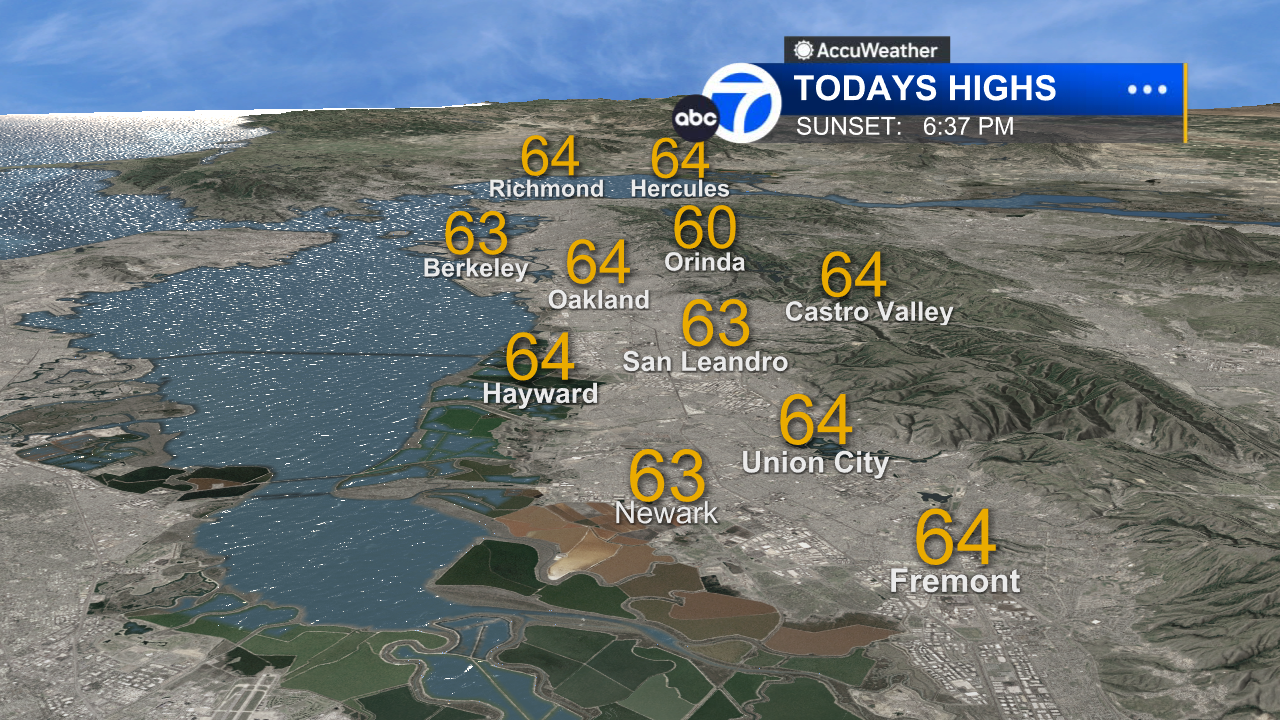
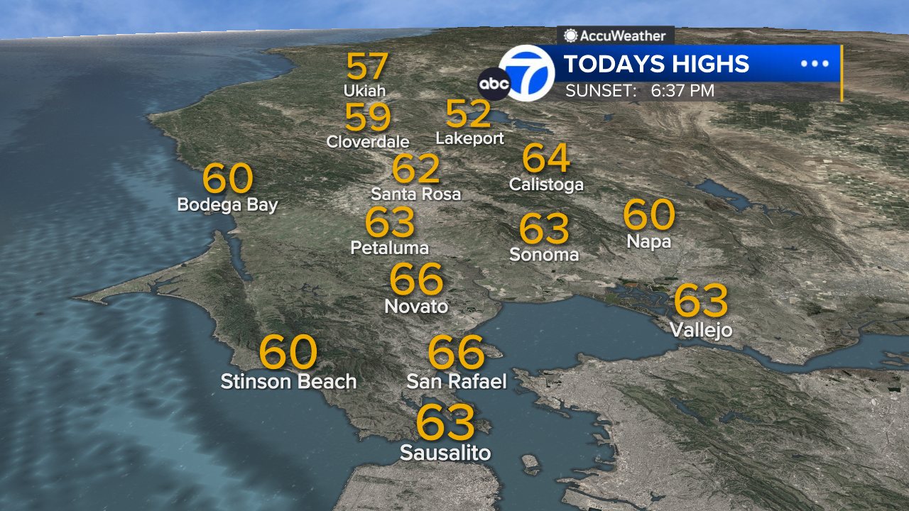
Our Fleet Week weekend is winding down on a sunny, breezy and mild note. Afternoon highs ranged from mid-60s at the coast to near 70 around the bay, to mid and upper 70s inland. This evening will bring a slight increase in clouds over the North Bay, along with steady cooling, but we won’t need umbrellas until tomorrow.
LIVE: Track rain in San Francisco Bay Area with Live Doppler 7
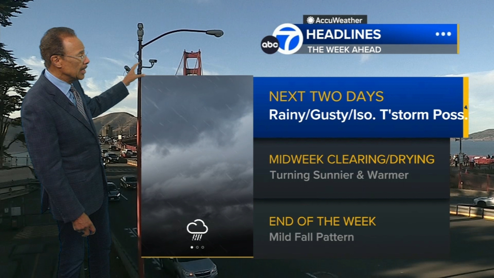
A Look Ahead
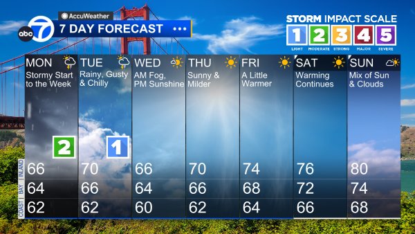
Tomorrow and Tuesday will be rainy, gusty and chilly, with a chance of isolated thunderstorms. And while it’s raining here in the Bay Area, moderate to heavy snow will fall in the Sierra.
For tomorrow, this weather system is a Level 2 storm on the exclusive ABC7 Storm Impact Scale. We can expect periods of steady rain and occasional downpours and gusty winds. Rain will begin in the North Bay early tomorrow morning, and some of the heaviest and most widespread rain is likely to fall during the late afternoon and evening commute. We can expect a brief break late tomorrow night, but periods of rain will return on Tuesday. It will be a Level 1 storm, with mainly lighter and more scattered showers than on Monday.
In the Sierra, a WINTER STORM WARNING will be in effect from 5 a.m. tomorrow to 5 a.m. Wednesday. We are forecasting 1 to 2 feet of snow above 6,500 feet, with gusty winds and hazardous driving conditions.
Wednesday will bring sunnier, drier, milder weather to the Bay Area, followed by a warming trend Thursday and Friday.
7 Day Forecast
East Bay High Temps
Inland East Bay High Temps

North Bay High Temps
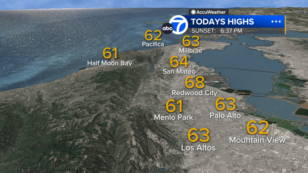
Peninsula High Temps
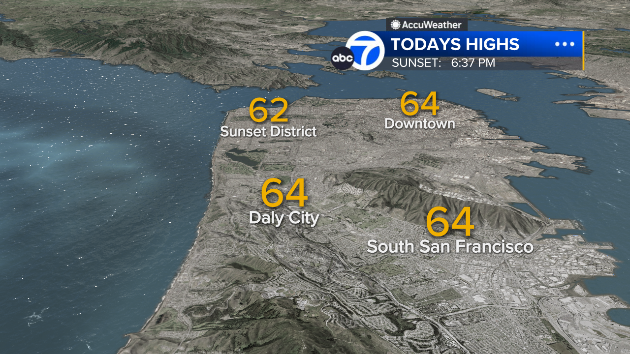
San Francisco High Temps
South Bay High Temps

SHARE YOUR PHOTOS: We love seeing photos and videos from where you live! Share yours by posting with #abc7now. You must have taken the image/video or otherwise own all rights to it and agree that KGO-TV and its licensees can use, edit and distribute it without restriction in all media. Full terms: abc7news.com/share
Copyright © 2025 KGO-TV. All Rights Reserved.