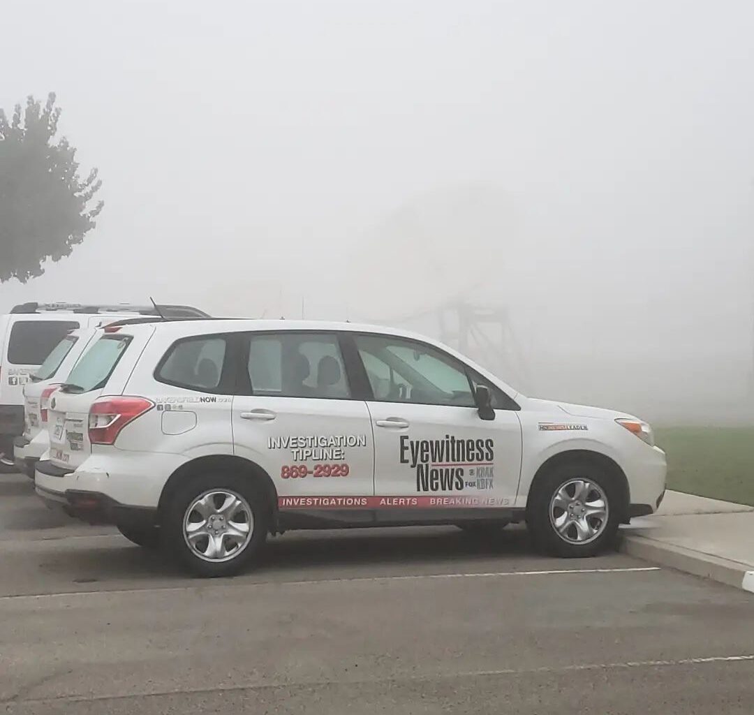
BAKERSFIELD, Calif. (KBAK/KBFX) — FOG PATTERN THIS WEEK
Southcentral California is looking at a much quieter weather pattern for most of this week, as a ridge of high pressure gradually builds into the region from the Pacific. However, with the tremendous amount of recent rains (Bakersfield is now at 513% of “normal” for the time of year we are in), the lower atmosphere is just about saturated. Cloudless, and long, nights mean the air temperature will have plenty of time to drop to the dewpoint (or point at which dew forms). This meeting point of the air temperature to the dewpoint temperature signals condensation. In this case, that condensation would occur at ground level, spelling: FOG.
As of just before 9 p.m. Sunday night, dense fog is rapidly taking over the Sacramento Valley already. Across the South Valley, relative humidity values are rising into the 80s and 90s (percentages).
A Dense Fog Advisory has been issued by the National Weather Service for a portion of the Sacramento, Central, and part of the South Valley.
This situation could be repeated during the following nights and days, too.
DRY UP TO AND THROUGH THANKSGIVING
That upper-level high pressure means the storm track will be many miles away from our part of the USA for the time being. As such, the driest period since earlier this month will be upon us. Mostly sunny to sunny skies above the fog layer will mean plenty of Vitamin D availability for the desert, mountain, and Kern River Valley towns. The sunniest opportunities for the South Valley will be along the foggy edges and during the daytime. There is a chance that if the fog gets developed enough, it could stick around for part of the day. That’s one of the trickiest parts of the forecast. Very little in the way of change is expected for Thanksgiving, with overall mild temperatures and pleasant weather area-wide.
WINTER WEATHER RETURNS
Comment with Bubbles
BE THE FIRST TO COMMENT
Many computer models continue their trend that was observed late last week of indicating a more amplified atmospheric pattern reemerging at the tail end of this week, with a potentially significant shift in the trajectory of the air currents across North America. There are signs that a Polar surge could be unleashed, which, if it occurs anything like some of the progs are suggesting, could bring the coldest air of the season – along with the lowest snow levels we’ve seen since last winter/spring season – out this way some time between the very end of this month and the first week of the next. Right now, we’ll just need to monitor the trends.

