
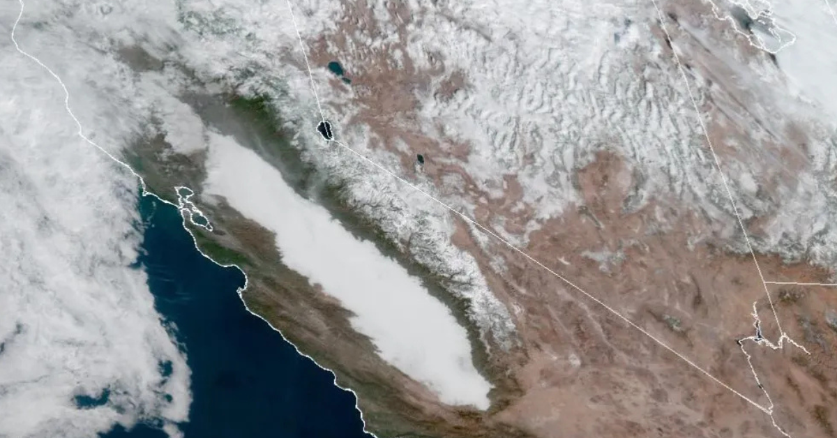
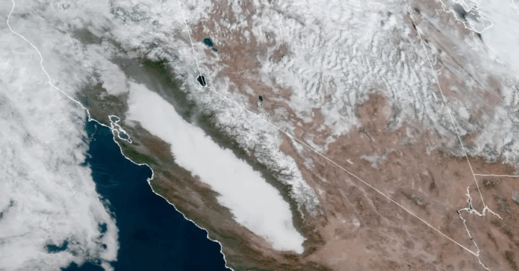
A massive blanket of Tule fog—stretching nearly 400 miles from Bakersfield to north of Sacramento—has settled over California’s Central Valley, reappearing every night for more than a week and bringing dangerous driving conditions across the region.
Tule fog is a well-known winter phenomenon in the San Joaquin and Sacramento valleys, named after the tule reeds that thrive in the region’s wetlands. This particular fog bank is one of the longest and most persistent of the season so far, reaching as far north as Red Bluff and Redding.
Tule fog is a radiation fog that forms when heat escapes into the atmosphere at night, cooling the air until it reaches the dew point. Moisture then condenses close to the ground, creating dense, low-visibility fog.
After heavy rain soaked the Central Valley on November 16–17—bringing more than an inch of rain to cities like Hanford, Visalia, and Redding—moisture has remained trapped. With no strong weather systems to dry things out, the valley has turned into a fog factory.
Airports like Calaveras County Airport have watched visibility collapse in minutes. On multiple nights this week, visibility dropped from 10 miles to less than a quarter-mile within an hour—conditions expected again through the weekend.
A temperature inversion is helping lock the fog in place. Cold, dense air sinks into the valley at night, while warmer air above (around 2,500–3,000 feet) acts like a lid, preventing fog and pollutants from dispersing.
The National Weather Service has issued dense fog advisories across the valley, warning of a “high transportation risk” on major routes including I-5, Highway 99, and several connecting corridors.
Drivers are urged to slow down, use headlights, and leave extra space, as Tule fog remains one of the Central Valley’s most dangerous winter hazards.
Until drier air or multiple sunny days return, the nightly fog cycle is expected to continue.