
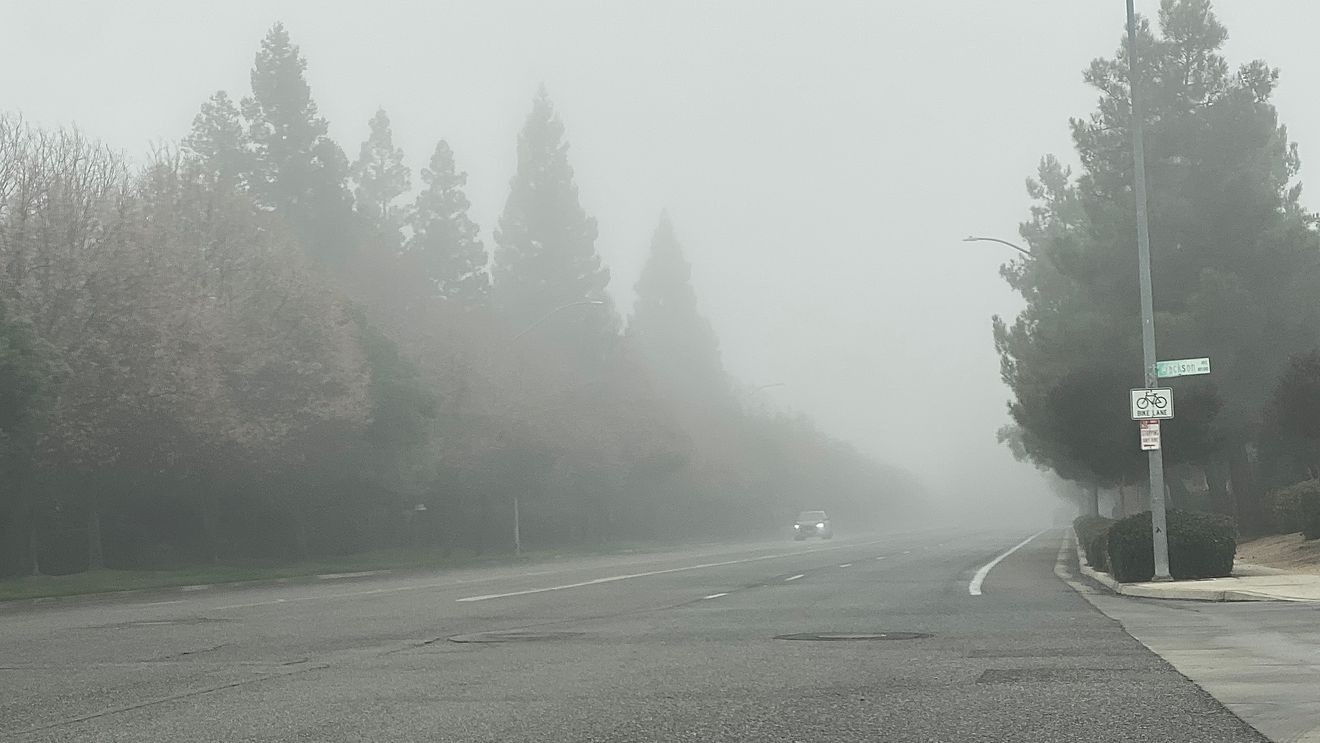
It was another cloudy, gray start to our day on Saturday… but this time there was a little afternoon clearing! Mainly on the east side of the Valley, but the sun did come out for a little while around Clovis and Sanger, and helped Fresno warm to a high of 52. Merced, Madera, and Hanford all saw highs of only 49.
It’ll be another chilly and cloudy start to our Sunday, with a little afternoon clearing possible again, along with Valley highs near 50. If you need a little sunshine, just head up into the Sierra Nevada. They’re above this cloud layer, so it’s been sunny and warmer up there. And don’t forget that China Peak is now open for skiing and snowboarding!
We’ll see more of the same as we start off the work week. But there may be a change by midweek.
A weak weather disturbance will move through central California on Wednesday, and bring us a slight chance of a shower. Any rain that falls would be light. But the bigger story is that it should also mix up the atmosphere as it moves through, which would clean up our clouds and fog for a couple of days. I don’t see storms of any note heading our way through the first week of December, so any break from the fog would be short lived. But… it would be nice to see the sun in the Valley for at least a little while next week!
We’ve had a VERY wet start to our rain season, which has been a key factor in why we’ve had so much fog lately. In the video below, I break down just how much rain has fallen so far in our current rain season, and if that guarantees a wet season overall. I also look back to our wettest November ever, November 1885. Fresno has recorded over 3″ of rain in one day only twice in it’s history… and they both happened in November, 1885. On consecutive days, no less!