
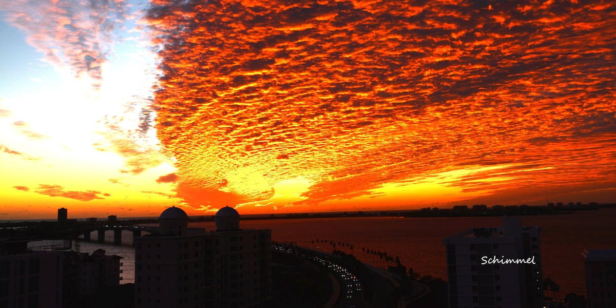
SARASOTA, Fla. (WWSB) – A blast of winter has moved in to wrap up 2025 with lows in the low to mid 40s to start the last day of the year. With the wind out of the NNE at 5-10 mph will see wind chills in the mid to upper 30s just before sunrise through 8a.m. on Wednesday.
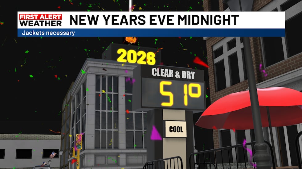 At midnight temperatures will be in the low to mid 50s for New Year’s Eve at the stroke of midnight(WWSB)
The start of 2026 will be chilly with lows in the mid to upper 40s and warm into the upper 60s under mostly sunny skies. It should be a really nice afternoon.
Friday we will see temperatures rebound back into the low 70s still a couple of degrees below average of 74 degrees.
A weak storm system will move across the SE U.S. on Saturday sweeping a weak cold front our way on Saturday night and early Sunday morning. This will bring a few showers our way during aforementioned time frame.
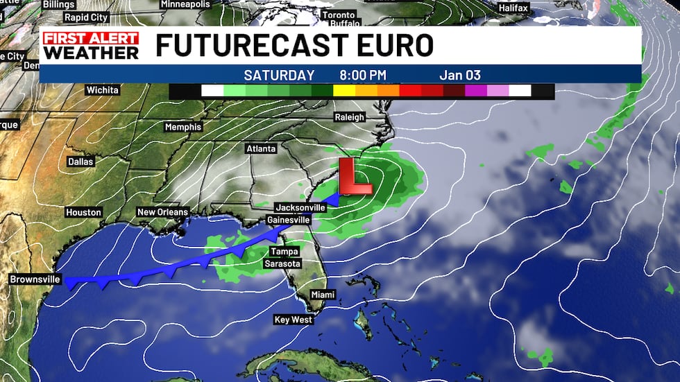 We will see a few showers late Saturday into early Sunday morning as a weak cold front moves in(WWSB)
Temperatures should really cool too much behind this weak cold front so look for a nice day on Sunday with highs in the low 70s.
For boaters the small craft advisory that had been in place will expire as winds lessen and seas calm a bit. Expect to see the winds out of the NNE at 5-10 knots and seas running 2-4 feet with a moderate chop on the waters.
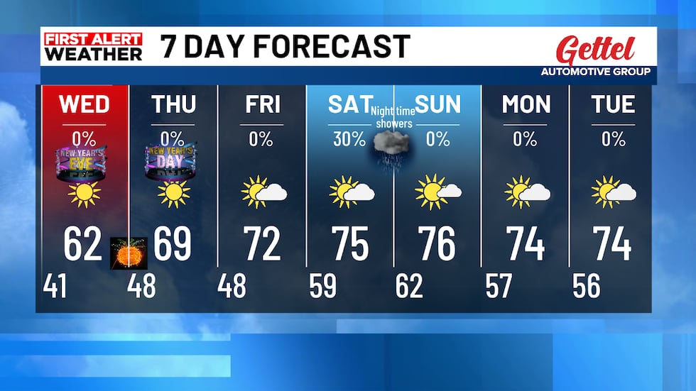 Warmer weather for the weekend with a chance for some much needed rainfall(WWSB)
Copyright 2025 WWSB. All rights reserved.