
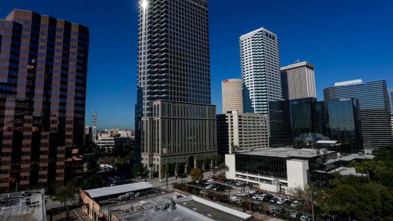
As the cost of living climbs, residents are moving in, out and across Tampa.
That’s why the Hillsborough County City-County Planning Commission is redrawing the city’s Council districts — a change that will take effect in April 2026.
The redistricting has nothing to do with the recent national push, initiated by President Donald Trump over the summer, for red states to redraw their congressional election maps mid-decade to protect and expand the GOP’s congressional majority. The process is meant to even out the population of the Council districts ahead of the city’s 2027 elections.
The changes will only touch a small slice of the city. But Yassert Gonzalez, a demographic researcher with the Planning Commission, said the process has revealed a number of population shifts that show how Tampa has changed in recent years.
Most notably, he said, District 5 no longer has a Black majority.
The district, which spans downtown, East Tampa, Ybor City and parts of West Tampa, was long the city’s only majority-minority district. The seat has been held by a Black official since the 1983 election of Perry Harvey Jr., according to city archives. Its current representative, Naya Young, is the lone Black City Councilmember.
Now, Gonzalez said, Black registered voters make up less than 45% of the district.
“They are still the largest block, but for the first time, not the majority,” he said. “It is a source of preoccupation for some of our African American neighbors.”
Melissa Zornitta, executive director of the Planning Commission, added that some of the city’s lower-income residents have moved to unincorporated parts of the county such as the University Area or Palm River, east of Tampa.
Despite some movement out of the city, Tampa has boomed in recent years, Gonzalez said. Around 20,000 people have moved in since 2020.
But they haven’t settled evenly. There’s a more than 8,600-resident gap between the most populous district (District 7, which covers the northeast corner of the city, including New Tampa and the University of South Florida) and the least, District 5.
To correct the imbalance, the commission has proposed four patchwork alternatives. To see the maps or to give input on your preferred option, visit the Planning Commission website.
The first option would see roughly 1,300 West Tampa voters moving from District 6 to District 4 (which covers the bulk of South Tampa), more than 2,400 moving from District 5 to District 6 and nearly 2,300 North Tampa voters moving from District 7 to District 5, according to Hillsborough County elections data from November.
In the second, District 5 would absorb a North Tampa precinct with roughly 2,000 voters.
The third alternative would move two Forest Hills precincts into District 6 and a 700-voter Seminole Heights precinct from District 6 into District 5.
In the final proposal, District 4 would gain a 1,300-voter precinct that covers Gray Gables, District 6 a 1,700-voter precinct covering Old West Tampa and District 5 a 2,000-voter North Tampa precinct.
“It’s a puzzle,” Gonzalez said, adding that Tampa’s squiggly shape limits how the commission can shift precincts. “But most people won’t even notice that it’s happening.”
The Planning Commission will hold open houses in January and two public hearings in February and March before approving a new map.