
ORLANDO, Fla. – Development chances continue to grow for newly designated Invest 98L. As of the 8 p.m. outlook we’re up to a 40% chance this turns into our next named storm, Melissa, within the next seven days.
NHC has increased odds to 40% we see tropical formation within the next seven days. I am pinpointing Friday of next week for the day we likely see a tropical storm on the board, somewhere in that ballpark. (Copyright 2025 by WKMG ClickOrlando – All rights reserved.)
I believe we’ll be flirting with that seven-day threshold based on the data we have available.
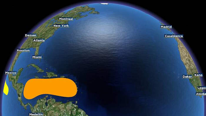
Tonight the wave looks healthy on satellite, with good deep thunderstorm activity near its current location which means the environment is ripe with instability and moisture.
However, as it wanders into the Lesser Antilles and through the Windward Islands over the easternmost Caribbean, westerly vertical wind shear is going to pick up. This will act to keep the system lopsided and stunt any quick organization.
That’s been something we’ve been monitoring on our computer models. Some early iterations suggest this could become a tropical storm by Monday, if not Wednesday at the latest.
Since we’re likely still a ways out from seeing this become a true tropical system, these are your takeaways for the weekend. (Copyright 2025 by WKMG ClickOrlando – All rights reserved.)
It will have to overcome a few hurdles in the short term if it really wants to do that. The general thinking is conditions will be far more conducive in the shear department especially as it wanders into the central Caribbean by the latter half of next week.
Then it becomes increasingly tricky to decipher what the steering flow will look like. The three scenarios we’d mentioned previously are still on the table, with one slowly losing potential.
The lowest on the totem pole is a weak, if not fully disorganized disturbance never hitching a ride out of the Caribbean and crashing into the shores of Central America.
The second scenario in the running, is a curve up towards the Cayman Islands and Western Cuba. Or possibly being slow to turn, and scraping against the coasts of Belize and the Yucatan peninsula.
Finally, if this system were to get going earlier than later, it could turn north far sooner closer to the Dominican Republic or Haiti, putting the southern Bahamas in harm’s way.
The first batch of our track guidance models suggest a more westward track instead of an immediate curve like the American GFS model has been suggesting. (Copyright 2025 by WKMG ClickOrlando – All rights reserved.)
We’re going to have to all keep up with this one, just to error on the side of caution. If and when it does become our 13th named storm, someone will receive it in one way, shape, or form.
We’ll be updating you a bit more frequently, especially once recon crews are tasked to survey the system and get us even more reliable data to work with as we crunch the forecast for you.
No worries as of yet, we’re simply here to watch and keep you posted on any new evolutions!
Daily Forecast
The News 6 Weather team ensures you’re always on top of the day’s weather.
Copyright 2025 by WKMG ClickOrlando – All rights reserved.