
TALLAHASSEE, Fla. (WCTV) – After some beneficial showers to end the weekend, we are tracking drier conditions on Monday.
Tonight Through Monday Night
An isolated shower is possible for Sunday evening, but most of us are turning drier for the overnight. Low temperatures tumble into the low-and-mid-50s under a clearing sky.
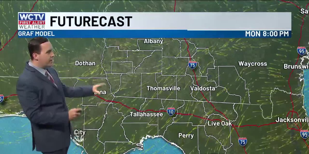
High pressure returns on Monday, so we are tracking drier weather and more sunshine. Temperatures top out in the upper-70s and low-80s.
We remain cool and calm for Monday night. Overnight lows bottom out in the upper-40s and low-50s under a mostly clear sky.
Tracking Secondary Cold Front
Another dry day is on tap for Tuesday. Highs climb into the low-and-mid-80s under a mostly sunny sky. Lows hover in the upper-50s.
We are keeping tabs on a secondary cold front to move across the region by Tuesday night and Wednesday. The moisture is looking very low with this system, so rain chances are not expected. However, this will likely bring another shot of cooler, drier weather for midweek.
We are tracking dry conditions on Wednesday and Thursday. Temperatures top out in the upper-70s and low-80s under a mostly sunny sky.
A heads up, overnight lows are looking chilly. We are tracking some upper-40s across the region.
Ending The Week
The forecast is looking quiet on Friday. Highs reach the low-80s under some sunshine. Lows fall into the upper-50s.
We could see a few showers on Saturday, but rain chances are not very impressive at this time. Temperatures hover in the low-80s under a partly sunny sky. Lows fall into the low-60s.
To stay updated on all the latest forecasts and weather, follow WCTV First Alert Weather on Facebook and X (Twitter).
Click here to see all the latest weather headlines and here to view the First Alert Radar. Receive push alerts and watch the latest forecast anytime on the free WCTV First Alert Weather app. Click here to download it now.
Interested in becoming a WCTV First Alert Weather Watcher? Click here to join the team!
Copyright 2025 WCTV. All rights reserved.