
TALLAHASSEE, Fla. (WCTV) – A hard freeze is expected to grip the Tallahassee area through Tuesday morning, with temperatures plummeting into the mid-20s across inland Florida counties and dipping into the low to mid-20s through southeast Alabama and southwest Georgia.
The National Weather Service has issued a Freeze Warning from 4 a.m. to 9 a.m. this morning, with similar conditions expected again on Tuesday morning. A Cold Weather Advisory is also in effect for the same timeframe.
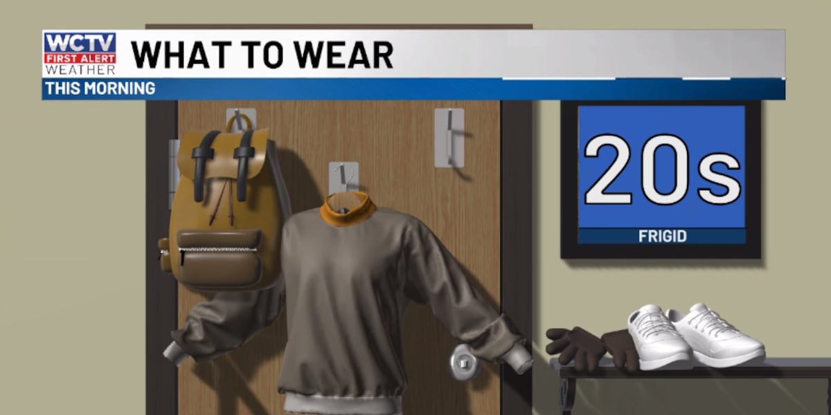
Today: Bitter Cold and Clear Skies
After an active weekend, quiet but frigid conditions will dominate through Tuesday night. A reinforcing cold front moving late tonight and Tuesday morning will refresh the existing cold, dry air mass, bringing no significant changes in weather, just cold temps.
This morning will bring widespread frost as temperatures drop into the mid-20s inland and low to mid-20s across southeast Alabama and southwest Georgia. Clear skies will continue throughout the day with highs only reaching the low to mid-50s across the region—well below normal for mid-January.
Wind speeds will remain light at 4 mph or less, so wind chills won’t be as severe as the actual temperatures suggest. However, if you must be outdoors overnight, dress warmly with multiple layers, as hypothermia and frostbite can occur with prolonged exposure to these frigid conditions.
Still cold on Tuesday
Tonight into Tuesday morning will be even colder, with another widespread freeze and frost expected. Temperatures will again dip into the mid-20s inland, making this a two-day freeze event. Clear skies will persist, keeping temperatures from moderating much overnight.
Little improvemnet in the afternoon, despite plenty of sun. The mercury only reaches the mid-50s.
Clear skies will continue, with widespread frost expected both this morning and again on Tuesday morning. Wind speeds will remain light at 4 mph or less, so wind chills won’t be as severe as the actual temperatures suggest.
Warming Trend Begins Wednesday
The cold pattern will begin to moderate starting Wednesday as clouds increase and a shift to milder easterly flow takes place. Highs on Wednesday will climb into the low to mid-50s.
Thursday night and Friday should remain relatively quiet as the system exits to the east.
Heading into the weekend, a complex weather setup will unfold with higher rain chances. This will be the only slightly higher rain chance over the next week.
To stay updated on all the latest forecasts and weather, follow WCTV First Alert Weather on Facebook and X (Twitter).
Click here to see all the latest weather headlines and here to view the First Alert Radar. Receive push alerts and watch the latest forecast anytime on the free WCTV First Alert Weather app. Click here to download it now.
Interested in becoming a WCTV First Alert Weather Watcher? Click here to join the team!
Copyright 2026 WCTV. All rights reserved.