
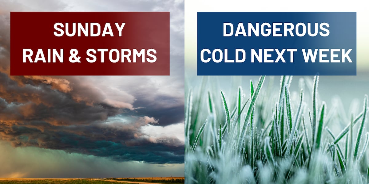
TALLAHASSEE, Fla. (WCTV) – A weather system will bring thunderstorms to the Big Bend and South Georgia Sunday afternoon and evening, followed by dangerously cold temperatures that will persist through much of next week.
A significant cold front will bring storms and gusty winds to the area on Sunday; dangerously cold Temperatures followSunday’s storm risk
A warm and mild Sunday is expected with temperatures in the 70s. The warm air will set the stage for wet weather to end the weekend.
Storms will develop Sunday afternoon as a cold front approaches from the west. The Storm Prediction Center has placed our area under a Marginal Risk (Level 1 of 5) for storms Sunday afternoon into Sunday night. While the threat is isolated, some storms could produce strong winds and an isolated tornado or two. Download the FREE WCTV First Alert Weather App to receive weather alerts and know where to take shelter if severe storms develop.
Weather tidbit: Strong wind shear and a powerful low-level jet stream moving into the area Sunday afternoon will create an environment capable of supporting strong storms. The one limiting factor is instability. Both the cooler Gulf temperatures and limited sunshine will greatly reduce the risk. However, since the winds in the upper atmosphere are so supportive of severe weather, this is a weather setup we will monitor closely.
About half an inch to an inch of rain is expected through Sunday night as storms move through the Big Bend and South Georgia. Localized higher totals are possible.
The cold front will clear the area by late Sunday night, ushering in much colder air.
Outside of thunderstorms, gusty winds will be a concern. Sustained winds will range from 10 to 20 mph, with gusts reaching 40 mphon Sunday afternoon. Be sure to secure any loose outdoor items before Sunday afternoon.
You can track the changing conditions with WCTV First Alert Weather Now. The WCTV First Alert Weather team will have updates throughout the day.⬇️
wct
Another round of dangerous cold
Behind the cold front, temperatures will drop sharply late Sunday night into Monday morning. The cold will be significant and long-lasting.
Monday will be very cold with highs only reaching near 40 in the Big Bend area. Monday night will be particularly dangerous, with lows dropping to the upper teens to mid-20s across the region.
Wind chills on Monday morning could be dangerously cold, dropping to the upper single digits to mid-teens. Be sure you and the kids are bundled up, heading to work and school. A hard freeze is expected Monday and Tuesday nights.
The cold spell continues next week
The cold pattern will not be short-lived. Highs will remain well below normal for late January, only reaching the 40s to low 50s. Lows in the 20s look probable.
As a matter of fact, there have only been eight occurrences since 1942 in Tallahassee where five or more consecutive nights have fallen below 30 degrees. It looks likely that we add to the list of years this week.
This prolonged cold could stress unprotected persons and cause problems for exposed plumbing.
You know the drill by now. Bring in potted plants and outdoor pets. Drip faucets to prevent frozen pipes. Wear appropriate cold-weather clothing if you must be outside. Check on elderly neighbors and those without adequate heating. And be careful with space heaters. Avoid plugging them into power strips, as that can be dangerous and lead to a fire.
To stay updated on all the latest forecasts and weather, follow WCTV First Alert Weather on Facebook and X (Twitter).
Click here to see all the latest weather headlines and here to view the First Alert Radar. Receive push alerts and watch the latest forecast anytime on the free WCTV First Alert Weather app. Click here to download it now.
Interested in becoming a WCTV First Alert Weather Watcher? Click here to join the team!
Copyright 2026 WCTV. All rights reserved.