
SOUTHWEST FLORIDA — Enjoy the warmth while it lasts… A big cooldown is headed to Southwest Florida.
Sunday afternoon is shaping up to be near record-breaking in the heat department, but by Tuesday, high temperatures will be about 20 degrees cooler than what we’re feeling today.
A cold front arrives Monday morning, bringing cloudy skies and a few isolated showers to start the day.
Once that line of rain moves out, skies will clear Monday evening, and noticeably cooler air will move in.
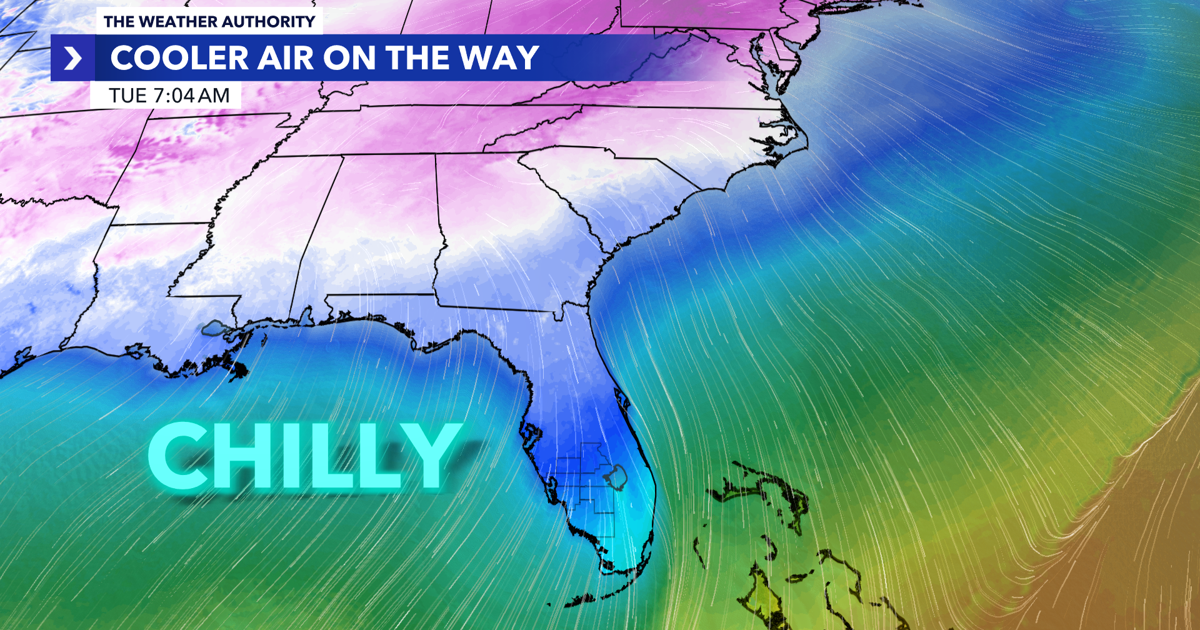
By Tuesday morning, it’ll feel downright chilly across the area, with temperatures dropping into the upper 30s and low 40s.

Afternoon highs won’t rebound much either, topping out only in the low to mid 60s under mostly sunny skies.
Weather Authority Meteorologist Lauren Kreidler says, “We’ve gotten used to quick-hitting cold fronts that cool us down for a day before warming right back up. This week is different – a reinforcing cold front will keep our mornings in the 30s and 40s, with afternoon highs in the 60s.”
So don’t put those jackets away just yet, as they are going to get plenty of use this week!