
You’ve likely heard of Lake Effect snow before, but have you heard of Gulf Effect Snow?! It’s a rare phenomenon that meteorologically occurs similarly to lake effect snow along the Great Lakes. Could a few snow flurries fly in sections of Central Florida this weekend as an Arctic blast plunges all the way south to the Gulf Coast? Never say never. It’s happened before. Most notably in 1977 when .2″ of snow was recorded in Tampa.Gulf Effect Ingredients:Cold air moving over a warmer body of waterWind speed and directionFetch length (distance that the cold air passes over water, ideally 60 miles or longer)The key? You need very COLD air passing over a relatively warmer body of water. This weekend’s air will be near record cold, and the water temperatures in the Northeast Gulf are in the upper 50s to low 60s off the coast of Florida.The magic number that you need for snow flurries to form is a 23-degree temperature difference from the water temperatures to the air at 5,000 ft above the ground, which is the height where clouds and precipitation form. This weekend, the forecast is for ~32-degree temperature difference from the Gulf water to the air at 5,000 ft. The stronger the temperature gradient, the higher the probability for snow band formation.So, Saturday night-Sunday morning, is it possible that a few flurries could fly? It’s a low-end probability. But, there is a chance.
TAMPA, Fla. —
You’ve likely heard of Lake Effect snow before, but have you heard of Gulf Effect Snow?!
It’s a rare phenomenon that meteorologically occurs similarly to lake effect snow along the Great Lakes.
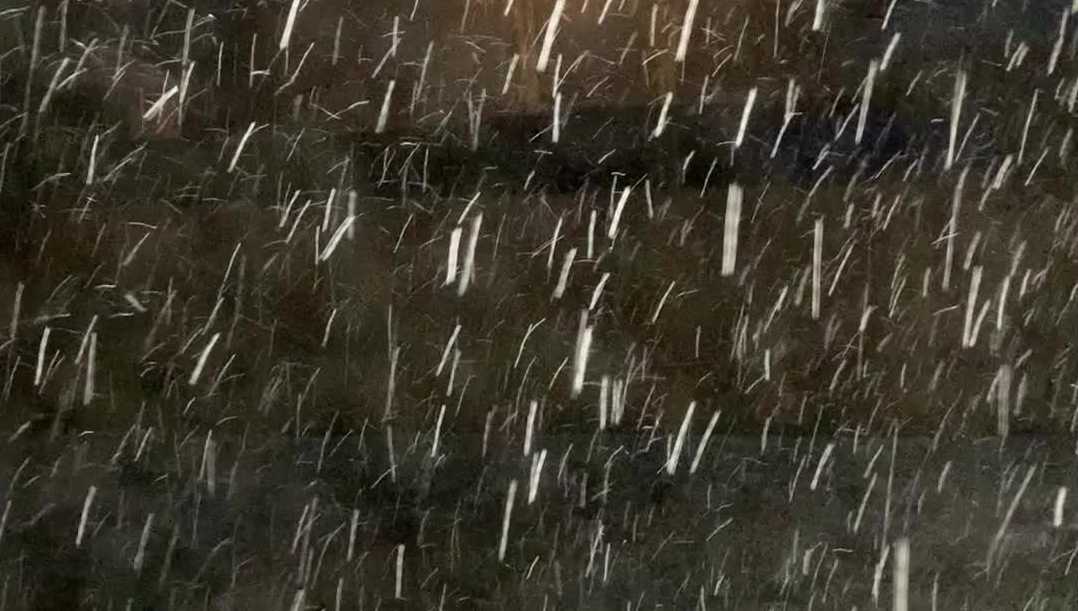
Could a few snow flurries fly in sections of Central Florida this weekend as an Arctic blast plunges all the way south to the Gulf Coast? Never say never. It’s happened before. Most notably in 1977 when .2″ of snow was recorded in Tampa.
Gulf Effect Ingredients:
Cold air moving over a warmer body of waterWind speed and directionFetch length (distance that the cold air passes over water, ideally 60 miles or longer)
The key?
You need very COLD air passing over a relatively warmer body of water. This weekend’s air will be near record cold, and the water temperatures in the Northeast Gulf are in the upper 50s to low 60s off the coast of Florida.
The magic number that you need for snow flurries to form is a 23-degree temperature difference from the water temperatures to the air at 5,000 ft above the ground, which is the height where clouds and precipitation form.
This weekend, the forecast is for ~32-degree temperature difference from the Gulf water to the air at 5,000 ft. The stronger the temperature gradient, the higher the probability for snow band formation.
So, Saturday night-Sunday morning, is it possible that a few flurries could fly? It’s a low-end probability. But, there is a chance.