
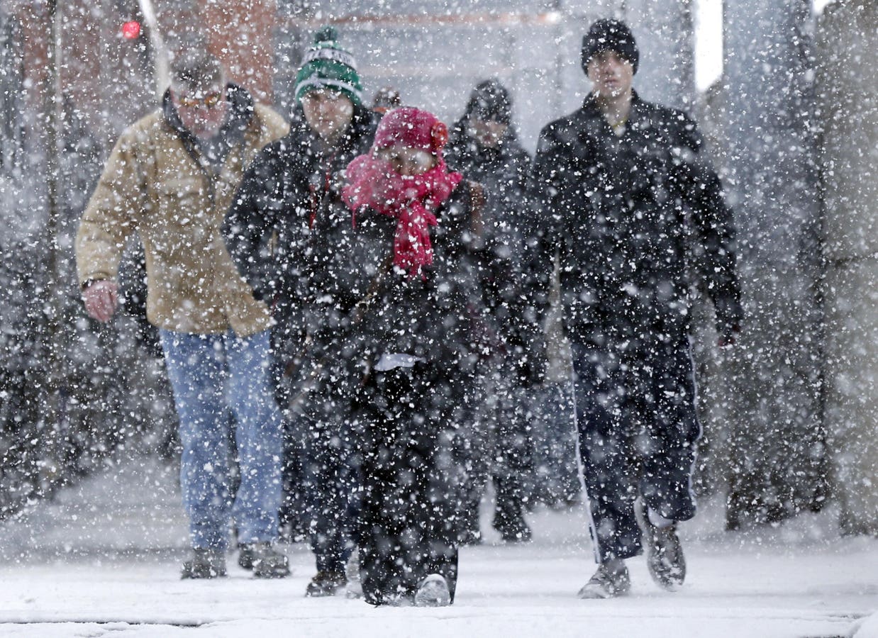

Commuters arriving at the La Salle Street METRA rail station walk into a lake effect snow storm Thursday, Feb. 26, 2015, in Chicago. Meteorologists say that Tampa Bay could experience Gulf Effect snow this weekend. (AP Photo/Charles Rex Arbogast)
Associated Press
Brutally cold air continues to impact much of the United States and portions of the East Coast are bracing for a Nor’easter that could bring snow to places like Georgia, the Carolinas and the upper Northeast. However, an interesting aspect of this intrusion of Arctic air is the possibility of snow in the Tampa Bay area of Florida. Here’s the science behind what is going on.
A schematic of Lake Effect Snow. This process could play out in Florida with a Gulf Effect.
NOAA/NWS
You have probably heard of Lake Effect Snow. It happens when a fetch of cold air moves over a relatively warm body of water. Places like Buffalo, New York and Erie, Pennsylvania are quite familiar with this process. The National Weather Service website pointed out, “As the cold air passes over the unfrozen and relatively warm waters of the Great Lakes, warmth and moisture are transferred into the lowest portion of the atmosphere. The air rises, clouds form and grow into narrow band that produces 2 to 3 inches of snow per hour or more.” Wind direction and the geography of the landscape can be very important factors in the amount and location of lake effect snow.
Projected surface wind and temperatures on the afternoon of January 31, 2026 based on the NAM Nested Model.
College of Dupage and NWS
The Tampa Bay area may see “Gulf Effect Snow” this weekend. The NWS Thursday morning discussion noted, “The strong winds and cold air advection over the coastal waters will create a very unstable turbulent boundary layer. Residual low level
moisture will likely allow an area of cold air strato-cumulus to develop over the eastern Gulf on Saturday and Saturday night.” Such conditions could produce light rain showers in the region. However, NWS went on to say, “The backside or northern extent of the cloud shield could see temperatures dropping into the mid to upper 30s Saturday evening and after midnight…which could allow the light rain showers to become
light mixed snow/rain showers or snow showers/flurries.” If the clouds move onshore, frozen precipitation could be seen from Citrus to Pinellas/Hillsborough counties, according to the National Weather Service. Meteorologists caution that this is a low-probability event and may not happen, but it certainly could happen.
Some parts of the Gulf feature sea surface temperatures well-above normal, but waters are cooler just near the coast. However, those sea surface temperatures will be far warmer than the overlying air temperatures. I’ll be watching with keen meteorological interest to see if this actually happens. University of South Alabama expert Jordan McLeod said, “I think the biggest limiting factor will be residual moisture availability behind the cold frontal passage. If Tampa does get measurable snow, it will only be their third time in the modern historical record.”
Sea surface temperature anomalies.
NOAA, CDAS and Tropical Tidbits Website