
Freeze watch issued as South Florida faces its coldest air in years
AND YOUR CAR NICE AND SAFE, WE HAVE LIVE TEAM COVERAGE FOR YOU. WE START WITH SANDRA KICKING IT OFF FOR US. I WAS OUT LOOKING FOR SWEATS AS WELL. ANYWAY, AND STEPHEN’S FACE I THINK SAYS IT ALL. HE’S JUST LIKE, WHAT IS THIS SOUTH FLORIDA ARE WE NORMALIZING THE ARCTIC AIR? WE HAVE BEEN IN A 2026, BUT FREEZE WARNINGS ACTIVE IN OKEECHOBEE. WE JUST DROPPED TO FREEZING THERE, AS WE’VE BEEN PREDICTING ALL WEEK LONG. WE HAVE FROST ADVISORIES UP IN INDIAN RIVER COUNTY, COLD WEATHER ADVISORIES ELSEWHERE. NOW THE AFTERNOON WILL BE FINE, BUT CERTAINLY NOT RIGHT NOW. IT IS ACTUALLY, THESE ARE ACTUAL TEMPERATURES 32 DEGREES IN OKEECHOBEE. SEND US YOUR FROST PICTURES IF YOU’RE UP IN IR COUNTY, BECAUSE WE’VE GOT THE LOW 30S THERE AS WELL, 35 UP AROUND FELLSMERE. WE HAVE 36 IN FORT PIERCE. IT’S IN THE 40S IN HOBE SOUND, 46 OUT OF PALM BEACH INTERNATIONAL AND 47 IN DELRAY BEACH THIS MORNING. BUT SEVERE WEATHER WARNING UP UNTIL 9 A.M. THIS IS FOR THE TREASURE COAST. OUR PLANNER SHOWING THE 30S HANGING ON AND HOLDING THE LINE, YOU KNOW, ON AVERAGE AREA WIDE WITH THE COLDEST AIR IN AND AROUND OKEECHOBEE. AND THEN WE YIELD TO NICER CONDITIONS THIS AFTERNOON WITH THE UPPER 60S AND A BLUE SKY DAY AHEAD. BRIGHT SUNSHINE FOR THE PALM BEACHES. AND WE’RE GOING TO BE IN THE UPPER 60S THIS AFTERNOON. BUT, YOU KNOW, WE MENTIONED THE 20S. THAT’S PRETTY MUCH A GIVEN FOR THE WIND CHILLS, VERY BULLISH AGGRESSIVE READINGS HERE ON THIS MODEL SHOWING POSSIBLY WIND CHILLS IN THE TEENS 16 TO 1819 DEGREES ON PARTS OF THE TREASURE COAST ON SUNDAY MORNING. AND WE’RE GOING TO BE FEELING LIKE THE 20S IN THE PALM BEACHES. SO THIS IS DANGEROUS COLD, WHICH IS WHY WE ARE ALL OVER IT WITH SEVERE WEATHER WARNING STATUS
WPBF 25 First Warning Meteorologist
The WPBF 25 First Warning Weather team is predicting the coldest air South Florida has seen since 2010 to move in this weekend.Temperatures for South Florida could be as low as the low 30s with feels-like temperatures in the 20s Sunday morning. The National Weather Service has issued an Extreme Cold Watch for Palm Beach, Okeechobee, Martin, St. Lucie and Indian River counties effective Saturday night into Sunday morning.The Treasure Coast and Okeechobee County will see temperatures in the upper 20s and could feel as cold as the teens. Both areas are under an extreme cold watch and freeze watch for Saturday night into Sunday afternoon. Stay with WPBF 25 for weather updates as this cold air moves toward South Florida.Stay up to date: The latest headlines and weather from WPBF 25Get the latest news updates with the WPBF 25 News app. You can download it here.
The WPBF 25 First Warning Weather team is predicting the coldest air South Florida has seen since 2010 to move in this weekend.
Temperatures for South Florida could be as low as the low 30s with feels-like temperatures in the 20s Sunday morning.
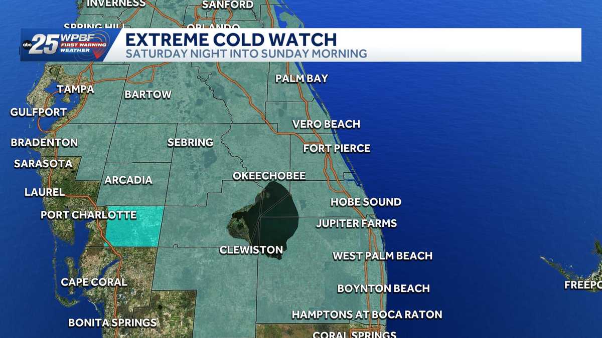
The National Weather Service has issued an Extreme Cold Watch for Palm Beach, Okeechobee, Martin, St. Lucie and Indian River counties effective Saturday night into Sunday morning.


Hearst OwnedWPBF 25 News
A Freeze Watch has been issued for the Palm Beaches, Treasure Coast and Okeechobee County starting Saturday night through Sunday morning.
The Treasure Coast and Okeechobee County will see temperatures in the upper 20s and could feel as cold as the teens. Both areas are under an extreme cold watch and freeze watch for Saturday night into Sunday afternoon.
Stay with WPBF 25 for weather updates as this cold air moves toward South Florida.


Stay up to date: The latest headlines and weather from WPBF 25
Get the latest news updates with the WPBF 25 News app. You can download it here.