
The Trails Crossing Master Plan is scheduled to be released this year after much anticipation.
A second public workshop was held Thursday at the President Barack Obama Main Library. Community members were able to learn more about the project and provide input.
First introduced in 2021, the public-private initiative aims to update an area located beneath I-275 by adding community spaces and amenities. More so, it was designed to reconnect multiple neighborhoods that were “historically divided by the interstate,” according to the City of St. Petersburg’s website.
The effort is a collaboration between nonprofit Friends of Trails Crossing, the City and the Florida Department of Transportation.
Spanning from 5th Avenue South to Burlington Avenue North, the site includes access to the Pinellas Trail. Creating safe paths will be a key aspect of the endeavor.
Orlando-based LandDesign was selected by the City of St. Petersburg to oversee the master plan process in June 2023. The first stakeholder meetings took place in the summer and fall of 2025.
An initial public workshop was held in August to receive public feedback. From September to October, an online survey was conducted. More than 385 responses were received.
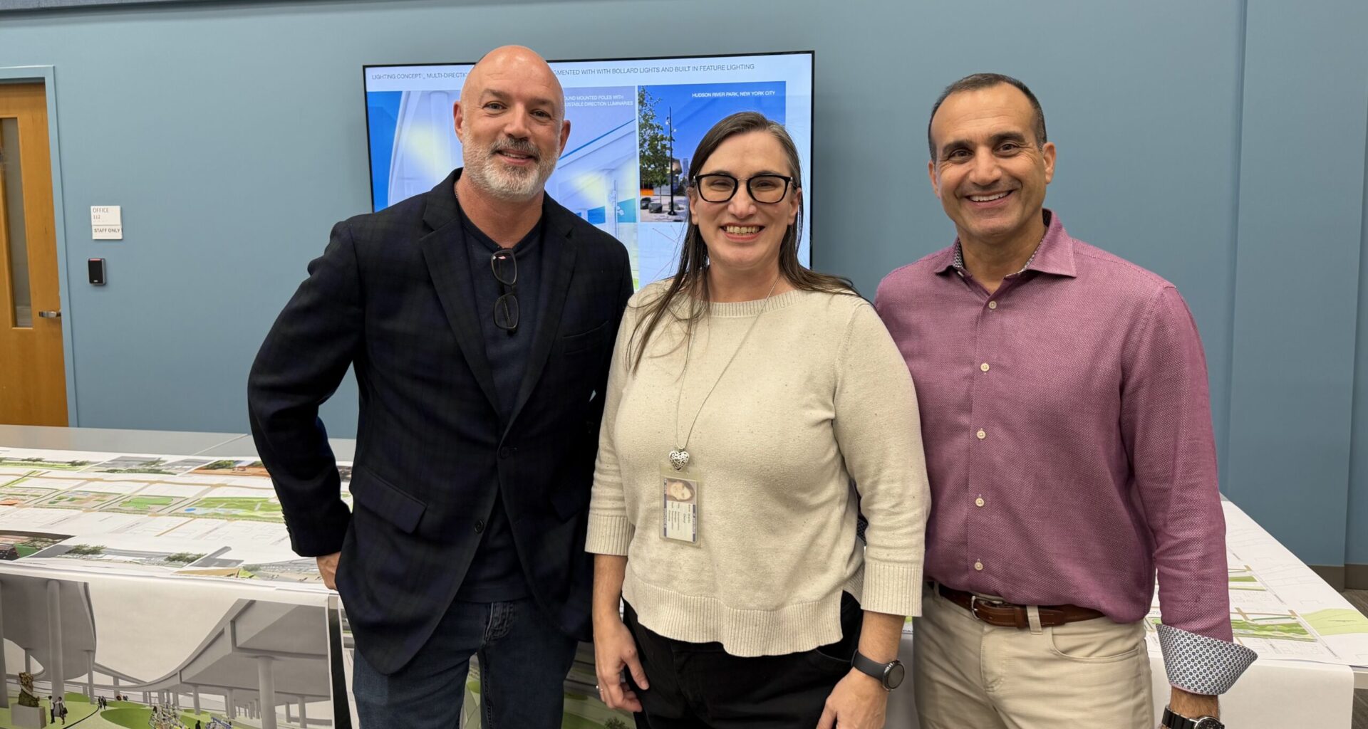
“The key things people wanted were walkability, connectivity, safety and lighting,” LandDesign landscape architect and project manager Carrie Read explained to the Catalyst. “In terms of some of the amenities, people were really interested in a farmer’s market, night market, public art and performing spaces.”
Possible features include children’s areas, a volleyball court, lawn amphitheater, pickleball courts and green space.
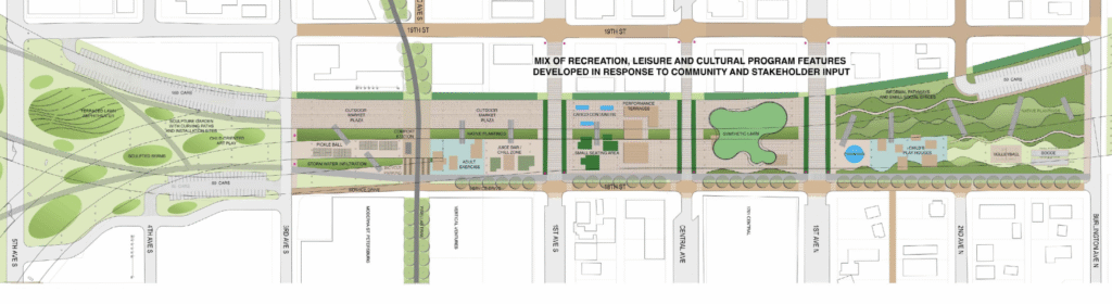
Proposed map of the Trails Crossing site with amenities. Image: Friends of Trails Crossing, City of St. Petersburg and LandDesign
She said that the Pinellas Trail has been key in selecting where the amenities will be located. “So, we really want to focus on activating that space first and foremost.”
The LandDesign team has also looked at adjacent neighborhoods such as Campbell Park, where there are a lot of families, to assist in the process.
Read said that the goal of the Thursday event was to receive “confirmation that we are going in the right direction.” Additionally, the team wanted to determine what other aspects community members would like to see in the plan.
Landscape architect Ken Smith, who helped design the St. Pete Pier and the roof garden at the Museum of Modern Art in New York, is a collaborator as well. He believes that the project requires something “original.”
“The highway kind of ripped these neighborhoods apart. The history of it is not good,” Smith explained. “But, there are some aspects of the highway, like where at the ends it starts to splay apart, that are really quite beautiful.”
He was able to obtain the original 1923 insurance maps of the area from the University of Florida archive – which showed how the property was organized before the construction of I-275. These documents have been an inspiration throughout the creative process, Smith added.
Located between the Gas Plant, Grand Central and Warehouse Arts Districts, the site has the opportunity to become a hub.
“It has taken us a little while to get us to this part of the master plan process because it requires some pretty deep conversations,” said City of St. Petersburg transportation manager Cheryl Stacks. ”The area is also very dynamic. So, there’s been a lot of changes.”
Grand Central District Association executive director Chris Arnold explained that the community is bisected by I-275. This has led to underutilized land.
“The Trails Crossing project in general will activate the space,” he said. “Having something there that will draw people to that end of the district will really help the small businesses.”
Arnold believes the project is an example of “thoughtful development.” It addresses “what we actually need and it’s fixing problems we already have.”
Friends of Trails Crossing co-founder John Barkett, who has championed the effort, said that it will be completed in phases. This will determine how much the initiative will cost.
LandDesign’s scope of work will include identifying funding opportunities as well. He expects that it will be at least two and a half to three years before work on phase one begins.
“We want to see our city connect everywhere,” Barkett explained. “This is going to stitch a lot of those neighborhoods together.”
To learn more about the project, visit this link.