
TALLAHASSEE, Fla. (WCTV) – The forecast for the weekend will feature cool nights and comfortable afternoons.
Tonight Through Saturday Night
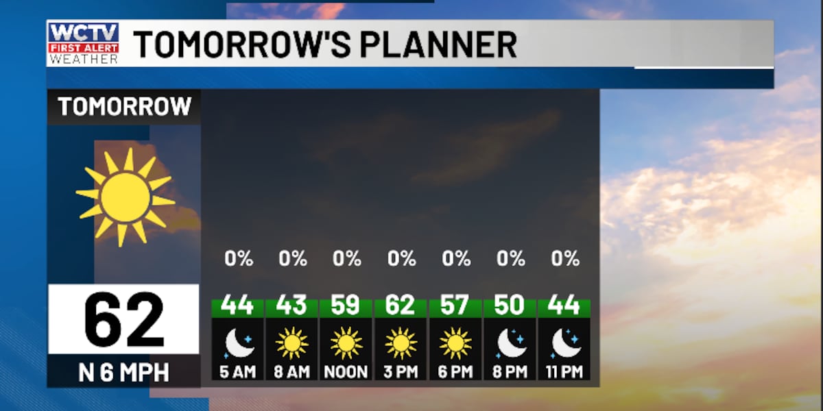
The weather pattern is looking pretty quiet for the next 24 hours.
We are dry under a clear sky for Friday night. A cold front will move across the region tonight, but the moisture is lacking. As a result, we are not expecting rain. Low temperatures bottom out in the low-40s to upper-30s.
Saturday is looking dry, sunny and breezy. Highs top out in the low-60s. The wind could gust up to 20 mph at times.
We are tracking dry, clear and chilly weather for Saturday night. Low temperatures dip into the upper-20s.
Tracking A Warm Up
Another dry, comfortable day is on tap to end the weekend. Highs on Sunday top out in the mid-60s under a sunny sky. Lows fall into the mid-30s.
Heads up warm weather fans, the 70s look to return next week.
Highs on Monday climb into the low-70s under a mix of Sun and clouds. Lows settle in the mid-40s.
We are tracking dry, mostly sunny weather on Tuesday. Temperatures reach the low-70s, and lows bottom out in the low-50s.
Extended Forecast
Looking down the road, we could see another rain chance by the middle of the work week.
Spotty showers are possible on Wednesday under a partly sunny sky. Highs reach the low-to-mid-70s, with lows in the low-to-mid-50s.
The forecast on Thursday is looking mild and partly sunny. Highs hover in the low-70s, and lows fall into the mid-40s.
To stay updated on all the latest forecasts and weather, follow WCTV First Alert Weather on Facebook and X (Twitter).
Click here to see all the latest weather headlines and here to view the First Alert Radar. Receive push alerts and watch the latest forecast anytime on the free WCTV First Alert Weather app. Click here to download it now.
Interested in becoming a WCTV First Alert Weather Watcher? Click here to join the team!
Copyright 2026 WCTV. All rights reserved.