
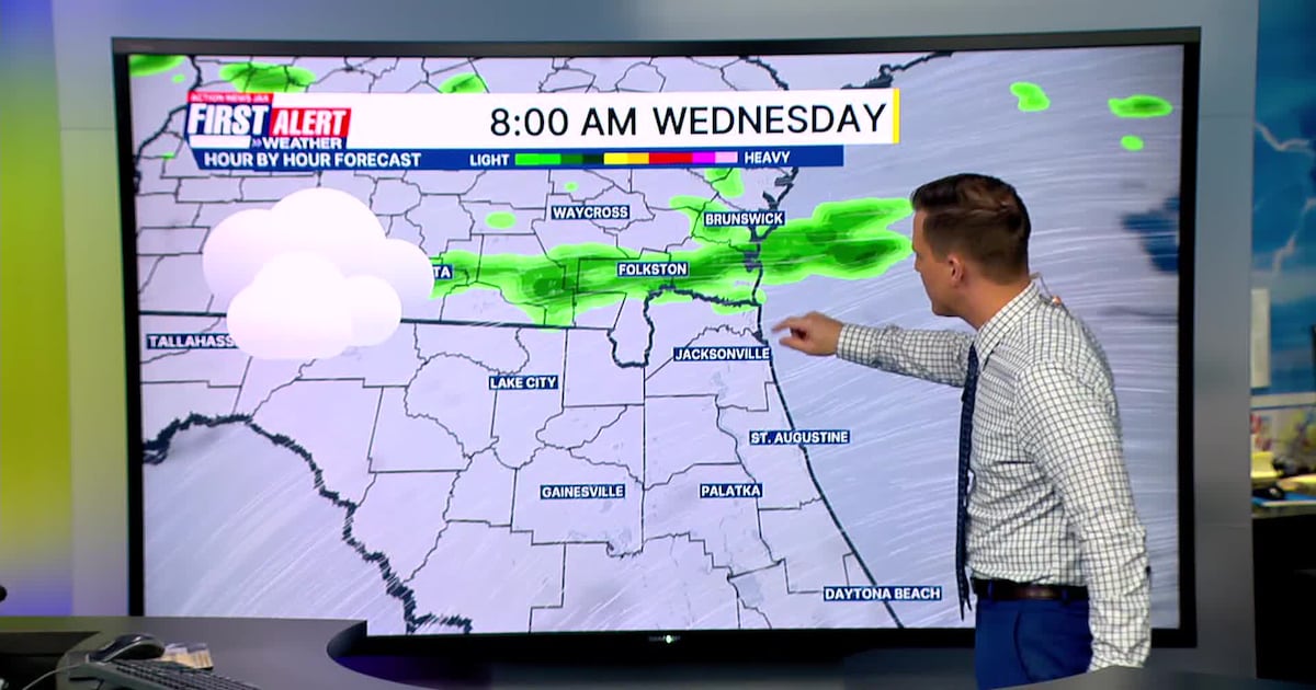
JACKSONVILLE, Fla. — Tracking a few morning light showers/sprinkle near and north of the FL/GA border.
A few light showers will try to move into NE Florida after the AM commute.A lot of dry neighborhoods this afternoon with only an isolated shower headed south.Highs today will be in the mid 70s.Partly cloudy on Thursday with temperatures in the upper 60s to lower 70s in the afternoon.Still a high local wildfire risk.A few showers and storms are possible late Sunday/Sunday night/Early Monday.
TODAY: A few AM light sprinkles/showers. Mostly cloudy. Isolated PM shower. HIGH: 75
TONIGHT: Partly cloudy. LOW: 52
THURSDAY: Partly cloudy, then mostly sunny. 52/68
FRIDAY: Partly sunny. 47/71
SATURDAY: Partly sunny. 50/76
SUNDAY: Increasing clouds in the afternoon. Late day showers and storms extending overnight. 56/81 (Record: 83 – 2001)
MONDAY: Turning mostly sunny. 50/74

WATCH THE FORECAST | DOWNLOAD THE APPS
Follow Action News Jax Meteorologists on Twitter for updates:
Mike Buresh | Garrett Bedenbaugh | Corey Simma | Trevor Gibbs
ALLERGY TRACKER: See what the pollen counts look like in our area
LISTEN: Mike Buresh ‘All the Weather, All the Time’ Podcast
INTERACTIVE RADAR: Keep track of the rain as it moves through your neighborhood
SHARE WITH US: Send us photos of the weather you’re seeing in your area ⬇️