
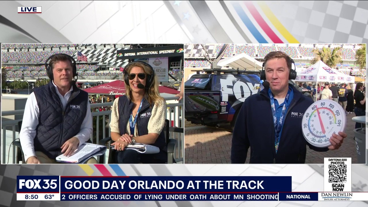
ORLANDO, Fla. – Several counties in north-central Florida have been placed under a tornado watch as a cold front is expected to bring the potential for strong or severe thunderstorms to the area on Sunday night. The storms are not expected to impact the Daytona 500, which started an hour earlier on Sunday, to hopefully avoid the potential for weather-related delays.
Here is what to know about the potential for strong thunderstorms Sunday night: timeline, county-by-county impacts, and forecast.
Tornado Watch
A total of 14 counties in Florida have been placed under a tornado WATCH until 8 p.m. on Sunday: Baker, Clay, Duval, Flagler, Nassau, Putnam, St. Johns, Alachua, Bradford, Columbia, Gilchrist, Marion, Suwannee, Union.
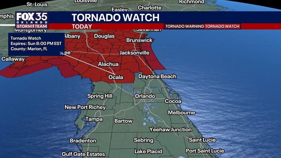
A tornado WATCH means there is the potential for a tornado to form. A tornado WARNING means a tornado has been radar-confirmed or spotted. Make sure to get indoors and seek shelter immediately.
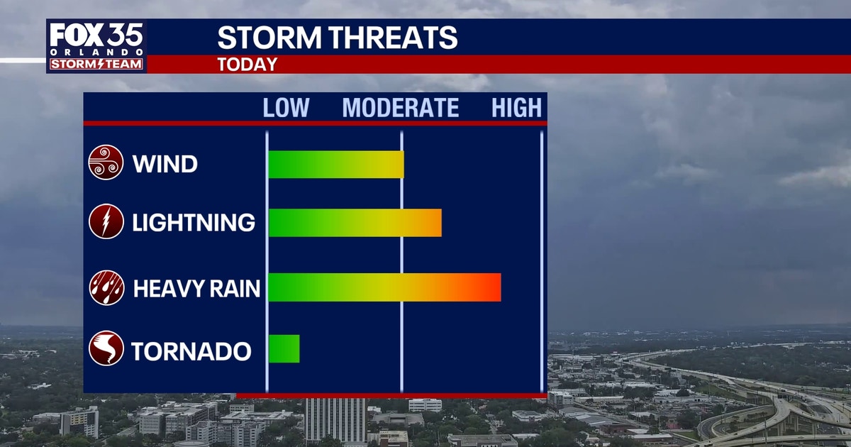
County-by-County Forecast: What to expect
Scroll through the gallery for a county-by-county forecast for when the worst of the weather arrives, as well as the biggest impacts. The biggest weather threats include heavy rain, damaging wind gusts up to 55 mph, and lightning. There is also the chance for a potential tornado to develop, forecasters say.
The Source: The information is from the FOX 35 Storm Team and the National Weather Service.