
ORLANDO, Fla. – A shift in the weather pattern is underway, setting the stage for a long stretch of warm and dry weather across Central Florida, raising the fire threat through the week.
Brush fires wreaked havoc across the region over the weekend, burning 20 cars and closing I-95 in Volusia County while also scorching an Osceola County nursery.
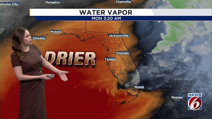
MONDAY
Winds will turn north and then northeast, becoming breezy at times with gusts up to 20-25mph. Skies will be mostly cloudy through the majority of the day, keeping highs in the upper 60s to low 70s.
Most areas stay dry, though a brief sprinkle along the coast south of Melbourne is possible Monday night as winds shift onshore.
THIS WEEK
From Tuesday through Friday, high pressure will take control, bringing a much warmer and drier stretch.
By mid- to late week, winds shift south to southwest, allowing temperatures to climb into the mid-80s each afternoon, about 10-12 degrees above normal for this time of the year.
With limited rain and gusty winds through the workweek, fire weather concerns are on the rise. Brush fires could spread more easily, especially across interior areas, where the warmest temperatures are expected.
WEEKEND
The weekend is expected to stay warm on Saturday before a potential cold front approaches Sunday.
Confidence in widespread rainfall with that front remains low at this time, so the overall dry pattern may continue.
Daily Forecast
The News 6 Weather team ensures you’re always on top of the day’s weather.
Copyright 2026 by WKMG ClickOrlando – All rights reserved.