
A strong cold front is expected to arrive Feb. 22 to the Treasure Coast, according to the National Weather Service in Melbourne.
Scattered showers and a few lightning storms are expected ahead of the front, according to the National Weather Service. Conditions could become gusty by late morning with northwest winds increasing to 15-20 mph and gusting at 30 mph.
It’s followed by dangerous cold temperatures overnight as wind chills drop into the upper 20s and 30s for part of the Treasure Coast — and even colder the next night as freezing temperatures return.
Burn bans: Wildfires pop up as burn ban remains for dry Treasure Coast
Touch grass: 5 places in Fort Pierce, Port St. Lucie, St. Lucie County
It’s a rollercoaster of temperatures for the Treasure Coast, going from very warm one day to bitterly cold the next.
High temperatures hit 85 degrees on Feb. 21, which didn’t reach Vero Beach’s record of 87 set in 2014 or Fort Pierce’s record of 89 set in 1989, according to the National Weather Service.
Then, on Feb. 22, high temperatures were expected to reach 81 degrees in Vero Beach and 84 in Port St. Lucie, and rain chances were 60% across the area.
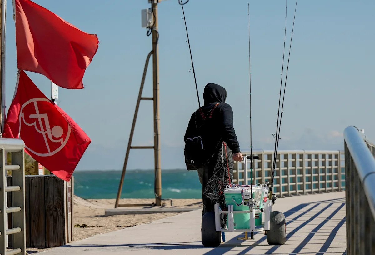
Conditions should begin to deteriorate rapidly that afternoon with dangerous boating conditions and a small craft advisory issued for the entire Treasure Coast.
A cold weather advisory and a freeze watch were issued from 3 a.m. to 9 a.m. Feb. 23 for inland Indian River County and inland St. Lucie County when temperatures will be in the mid- to upper 30s and wind chills will be in the upper 20s.
For coastal Indian River and St. Lucie counties, as well as Martin County, temperatures will be in the lower 40s and wind chills will be in the mid-30s.
Fort Pierce: Shooting sends 12-year-old to hospital in critical condition
Fort Pierce: Fatal crash leaves 1 ejected and dead, 2 trapped and injured
A fire weather watch was issued by the National Weather Service for all East Central Florida from the afternoon of Feb. 22 through the next evening of Feb. 23.
It was issued because any fires that develop likely would spread rapidly because of current conditions: west to northwest winds at 15 mph with gusts at 20-25 mph, plus low humidity at 30-45% on Feb. 22 and 20-30% on Feb. 23.
A burn ban remains in effect for the entire Treasure Coast, according to each county’s officials. It was issued until further notice in response to extremely dry conditions and lack of rainfall.
The ban prohibits burning yard trash and vegetation, as well as campfires, bonfires and burn barrels. Fireworks also aren’t allowed. Above-ground charcoal, gas or electric grills are allowed, as long as they are used away from wooded areas.
Burn bans would be lifted when drought conditions improve, according to officials.
The Florida Forest Service uses the Keetch-Byram drought index to estimate the dryness of the soil and duff layers. The index increases each day without rain and decreases when it rains. The scale ranges from 0 to 800, with 800 being the driest.
As of Feb. 22, the drought index in Martin and St. Lucie counties had jumped to 650 while it also jumped in Indian River County to 600.
Laurie K. Blandford is a breaking news reporter with TCPalm. Email her at laurie.blandford@tcpalm.com.
This article originally appeared on Treasure Coast Newspapers: Strong cold front brings gusty winds Vero Beach, Fort Pierce, Stuart