
ORLANDO, Fla. – If you’re heading out early across Central Florida, you may notice some frost on your windshield.
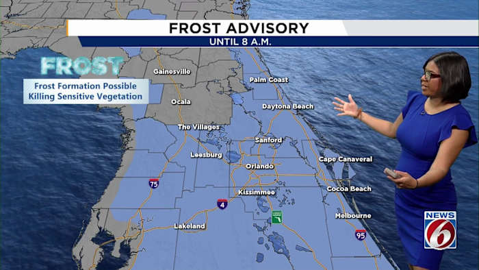
A freeze warning is in place for Marion County until 8 a.m., while surrounding areas are under a frost advisory until the same time.
Freeze Warning
The advisories mean frost formation is possible, especially in spots where sensitive plants are exposed, so it’s a good idea to dress in layers if you’ll be outside.
Frost AdvisoryWarming trend
Don’t pack away those sunglasses just yet, though.
After the chilly start, temperatures will be on a steady climb through the day and into the end of the week.
Afternoon highs in the Orlando area are expected to warm in the 70s across the region.
Highs
That warming trend continues into Thursday and Friday, with highs expected in the lower 80s.
Rain chances increasing
Get those umbrellas ready as rain chances are expected to increase as a cold front approaches by late Friday into Saturday.
The forecast calls for mostly dry conditions through midday Friday, but showers and even some embedded thunderstorms are likely by Friday evening and into Saturday morning.
Scattered downpours could linger into Saturday afternoon before skies begin to clear out.
Rain chances
Notice something unusual in your neighborhood — weather or frost patterns? You can share your local weather photos or videos with the News 6 team — just use PinIt!
Your photo may be showcased on News 6!
Copyright 2026 by WKMG ClickOrlando – All rights reserved.