
An incoming cold front Friday afternoon is expected to produce widespread showers across Southeast Georgia, as the front drops south toward the I-10 corridor.
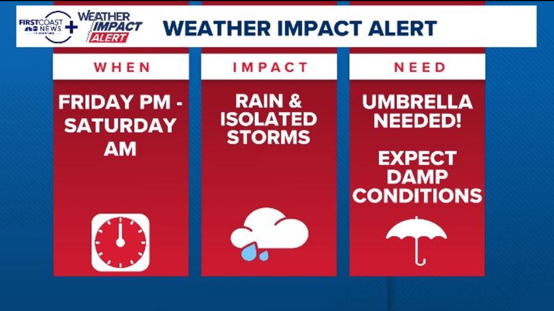
JACKSONVILLE, Fla. — The First Coast News Weather Team is issuing a Weather Impact Alert for Friday afternoon and evening, and continuing it through Saturday morning for widespread showers and isolated thunderstorms.
An approaching cold front Friday afternoon is expected to produce scattered to widespread showers across southeastern Georgia by Friday afternoon. A few thunderstorms could be embedded within this cluster of showers, as the front drops southward toward the I-10 corridor & Jacksonville area by the late afternoon and early evening hours. This has the potential to be impactful for the evening commute and Friday night plans.
This front is expected to continue to push south by Saturday morning, but light showers and persistent drizzle will likely continue through at least the first half of Saturday. With multiple large, outdoor events going on across the First Coast, the Weather Impact Alert has been extended into Saturday to account for those events.
WHEN: Friday afternoon through evening with lingering damp conditions into Saturday morning
IMPACT: Scattered to widespread showers and isolated thunderstorms. Expect the Friday evening commute and Friday evening plans to be impacted by wet roads and lowered visibility due to rainfall. Thunderstorms could also produce gusty winds of 30-50 mph, along with lightning strikes, but those will remain isolated.
NEED: Allow for extra time and caution on the roadways. An umbrella and/or rain jacket would be encouraged to have on standby.