

West Palm Beach, FLA. (WPEC) — Patchy dense fog is possible early this morning, mainly across interior South Florida. Light winds and lingering moisture are allowing fog to form, particularly in rural and low-lying areas.
Conditions should gradually improve after sunrise as winds increase and the lower atmosphere mixes out.
Scattered showers and isolated storms today and Monday
A weakening front remains draped across South Florida, providing just enough lift to trigger scattered showers and isolated thunderstorms through today and Monday.
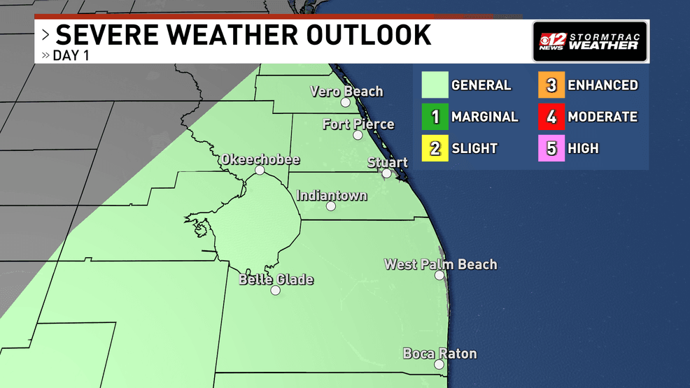
Showers and a few afternoon storms Sunday, breezy start to the week. (WPEC)
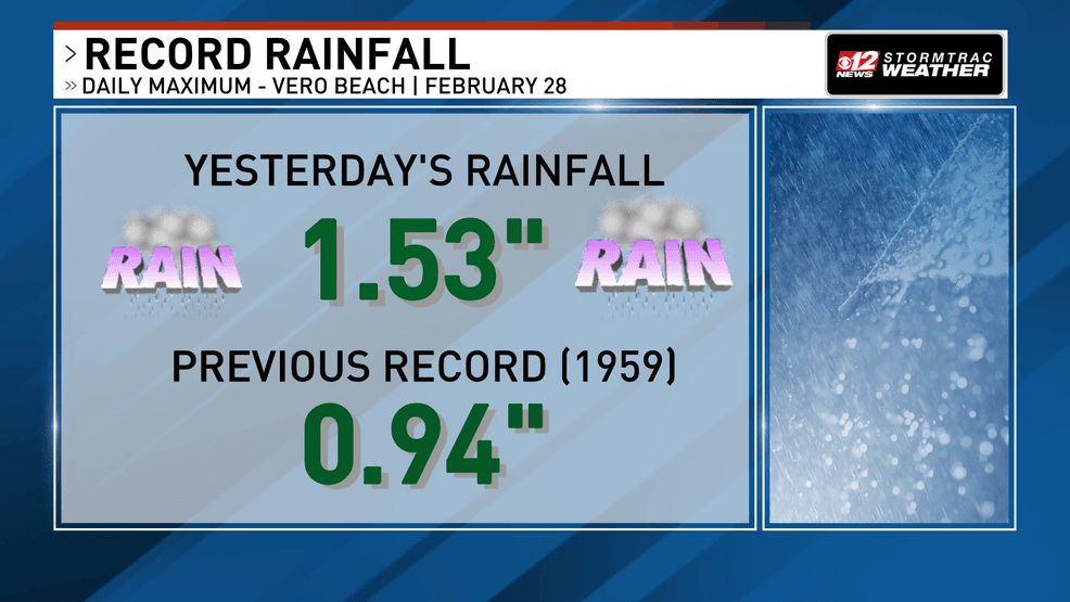
This was the front produced rain that set a new daily record for rainfall of 1.553″ in Vero Beach for February 28th.
Showers and a few afternoon storms Sunday, breezy start to the week. (WPEC)
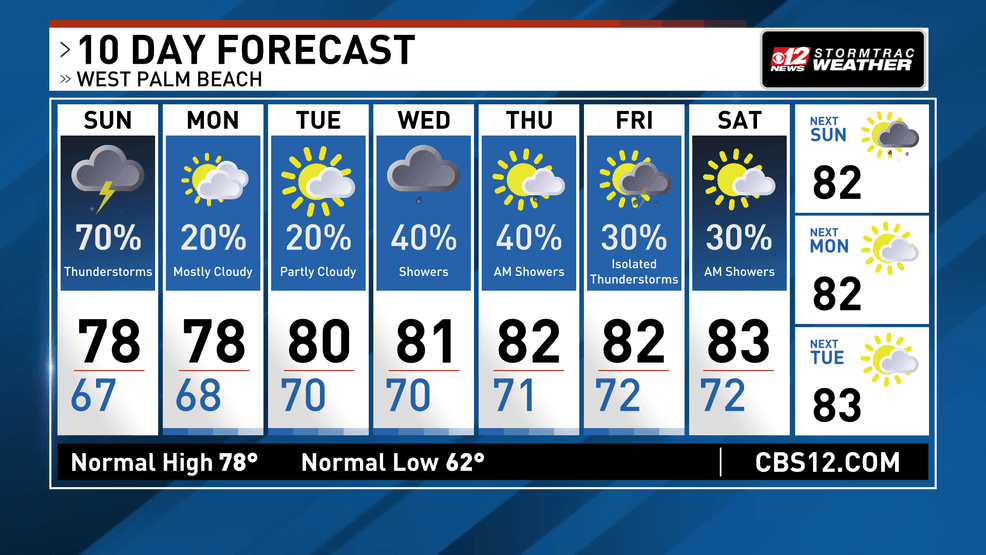
Thunderstorm chances will be highest during the afternoon when daytime heating peaks. A few coastal showers could also develop overnight into Monday as onshore flow persists.
High temperatures both days will reach the low to mid 80s, with overnight lows settling into the 60s.
Increasing northeast winds early next week
By late Monday into Tuesday, high pressure building across the southeastern United States will tighten the pressure gradient over South Florida. This will lead to breezier northeast winds, especially along the east coast.
As this flow strengthens:
Rip current risk is expected to increase along Atlantic beachesHazardous marine conditions may develop over Atlantic watersBoaters and beachgoers should monitor updated forecasts and advisories as conditions deteriorate.
Warm and breezy pattern continues
Breezy northeast winds will likely continue through midweek, with daily rain chances around 30-40%, mainly near the east coast and offshore waters.
Showers and a few afternoon storms Sunday, breezy start to the week. (WPEC)
Temperatures will stay warm with afternoon highs in the low 80s along the east coast and middle 80s inland.