
TALLAHASSEE, Fla. (WCTV) – The weather pattern is looking warm and dry to start the new month.
Tonight Through Sunday Night 🌙
A quiet, cool night is ahead for the Big Bend and South Georgia. Low temperatures settle in the upper-40s under a mostly clear sky. Some patchy fog is possible.
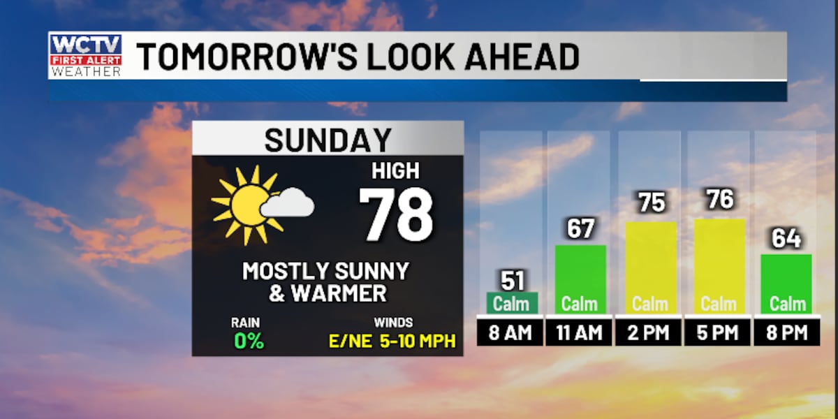
After some Sunday morning fog, we are expecting more sunshine for the afternoon. We remain dry to end the weekend, and temperatures are warmer. Highs top out in the upper-70s.
Another quiet night is on tap for the region. Lows bottom out in the upper-40s for Sunday night under a mostly clear sky. Again, some patchy fog is possible.
Starting The Work Week 🌡️
The big story for the first week of March will be the warm weather.
Highs on Monday and Tuesday climb into the upper-70s and low-80s under a mostly sunny sky.
Overnight lows hover in the mid-50s.
Extended Forecast ⛅
Our warming trend will continue for the second half of the work week.
Highs on Wednesday, Thursday and Friday soar into the low-and-mid-80s under a mix of Sun and clouds.
A few showers are possible to end the work week, but rain chances are unimpressive at this point.
Low temperatures stay mild. We settle in the upper-50s and low-60s.
To stay updated on all the latest forecasts and weather, follow WCTV First Alert Weather on Facebook and X (Twitter).
Click here to see all the latest weather headlines and here to view the First Alert Radar. Receive push alerts and watch the latest forecast anytime on the free WCTV First Alert Weather app. Click here to download it now.
Interested in becoming a WCTV First Alert Weather Watcher? Click here to join the team!
Copyright 2026 WCTV. All rights reserved.