
As we move closer to spring across South Florida, the chances of seeing hail begin to increase, and the biggest reason comes down to freezing levels in the upper atmosphere.
In spring, freezing levels typically live at lower altitudes than they do in summer or early fall.
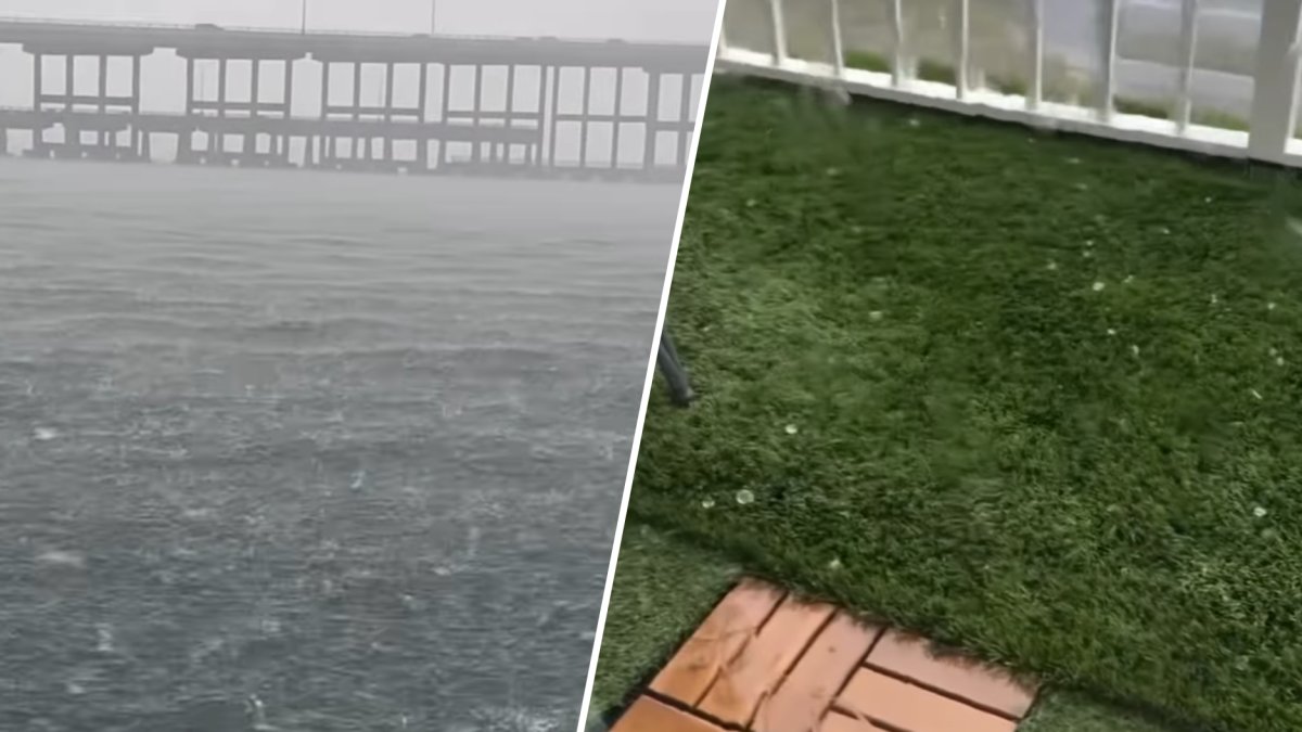
On Sunday, hail was seen falling from the sky in Miami-Dade County.
When you get a strong thunderstorm that pushes water droplets high into the atmosphere, the lower freezing levels allow the water droplets to exist in colder conditions longer, making hail all the more likely.
During summer and early fall:
Freezing levels are often much higher
Upper-level winds are usually weaker
Storms tend to be more pulse-like and less organized
Spring, on the other hand, still features:
Occasional strong cold fronts
Stronger wind shear from an active jet stream
Increasing surface heat and instability
This is the calm before the storm as May is typically the peak month for severe weather reports in South Florida, with April close behind.
In addition, the official start of the rainy season is May 15.
After that, storms become more frequent — but hail actually becomes less common as freezing levels climb higher into summer.