
TALLAHASSEE, Fla. (WCTV) – Chief Meteorologist Mike McCall is tracking mid-80s for the second half of the week.
Tonight Through Wednesday Night
Calm weather will continue for the Big Bend and South Georgia for Tuesday night. We are dry, but some patchy fog is possible. Lows settle in the mid-50s.
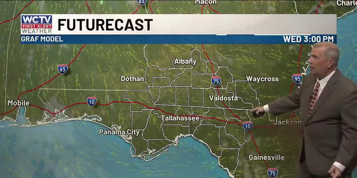
High pressure will stay in control for the middle of the week. A stray sprinkle is possible, but most of us are dry under a mostly sunny sky. Highs climb into the low-and-mid-80s.
We are quiet and a little mild for Wednesday night. Lows bottom out in the upper-50s under a partly cloudy sky.
Ending The Work Week
We stay stuck in this weather pattern to end the work week.
Highs on Thursday and Friday top out in the mid-80s under a mix of Sun and clouds.
An isolated shower is possible, but the rain chance is not widespread.
Low temperatures hover in the low-60s.
Weekend Forecast
More of the same is on the way for the weekend.
Temperatures on Saturday and Sunday top out in the mid-80s under a partly cloudy sky.
A stray shower is possible, but most are dry and warm.
Overnight lows bottom out in the upper-50s.
To stay updated on all the latest forecasts and weather, follow WCTV First Alert Weather on Facebook and X (Twitter).
Click here to see all the latest weather headlines and here to view the First Alert Radar. Receive push alerts and watch the latest forecast anytime on the free WCTV First Alert Weather app. Click here to download it now.
Interested in becoming a WCTV First Alert Weather Watcher? Click here to join the team!
Copyright 2026 WCTV. All rights reserved.