
The First Warning Weather Team is tracking very active weather across the area over the next few days.Strong to severe thunderstorms are possible both Sunday and Monday before a sharp cooldown arrives early this week.This afternoon, waves of energy moving through the jet stream will help trigger scattered strong to severe storms between 3 p.m. and 9 p.m.Another round of active weather is expected Monday midday as a strong cold front approaches the region. Storms are expected to develop between 1 p.m. and 5 p.m.The cold front will clear the area Monday night, ushering in a much cooler air mass. Temperatures will drop significantly, with lows in the 40s Tuesday morning and afternoon highs struggling to reach the 60s.
ORLANDO, Fla. —
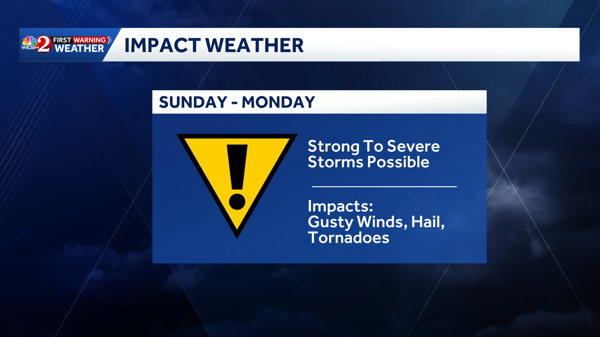
The First Warning Weather Team is tracking very active weather across the area over the next few days.

Strong to severe thunderstorms are possible both Sunday and Monday before a sharp cooldown arrives early this week.
This afternoon, waves of energy moving through the jet stream will help trigger scattered strong to severe storms between 3 p.m. and 9 p.m.

Another round of active weather is expected Monday midday as a strong cold front approaches the region. Storms are expected to develop between 1 p.m. and 5 p.m.
The cold front will clear the area Monday night, ushering in a much cooler air mass. Temperatures will drop significantly, with lows in the 40s Tuesday morning and afternoon highs struggling to reach the 60s.