
TALLAHASSEE, Fla. (WCTV) – Our “copy and paste” forecast will continue on Tuesday. Temperatures are cool in the morning, but we are tracking a nice warm up for the afternoon.
Tonight Through Tuesday Night
A quiet, cool night is ahead for the Big Bend and South Georgia. Temperatures bottom out in the low-to-mid-50s under a clear sky.
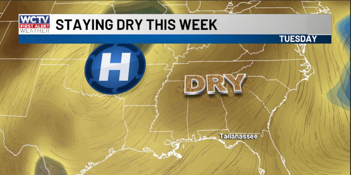
High pressure will stay in control on Tuesday, so the forecast is pretty consistent. We stay dry under a sunny sky. Temperatures top out in the mid-to-upper-80s.
We remain calm and cool for Tuesday night. Overnight lows settle in the mid-50s under a clear sky.
Ending The Work Week
Our dry spell will continue to end the work week.
We are tracking more sunshine for Wednesday, Thursday and Friday.
Highs hover in the mid-to-upper-80s, and lows bottom out in the mid-and-upper-50s.
Weekend Forecast
Saturday is looking dry and mild. Highs remain in the mid-80s under a mostly sunny sky. Overnight lows fall into the low-60s.
Looking ahead, we could see another cold front on Sunday, and this weather system could offer some beneficial rain chances. Highs on Sunday top out in the mid-80s under a partly sunny sky. Lows bottom out in the low-60s.
To stay updated on all the latest forecasts and weather, follow WCTV First Alert Weather on Facebook and X (Twitter).
Click here to see all the latest weather headlines and here to view the First Alert Radar. Receive push alerts and watch the latest forecast anytime on the free WCTV First Alert Weather app. Click here to download it now.
Interested in becoming a WCTV First Alert Weather Watcher? Click here to join the team!
Copyright 2025 WCTV. All rights reserved.