
It’s been a stellar stint of early spring weather recently. South Florida has been basking in plenty of sunshine following clear and (slightly) cool nights. There’s also been a nice breeze arriving off the ocean and making for beautiful beach conditions.
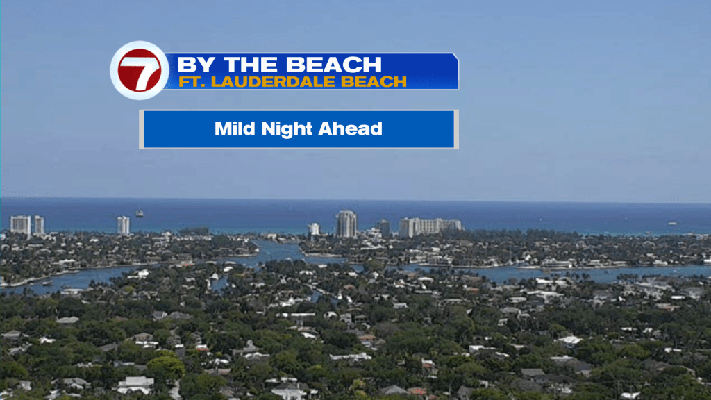
Above, you can see for yourself the vast clearing beyond Ft. Lauderdale Beach (from Wednesday afternoon).
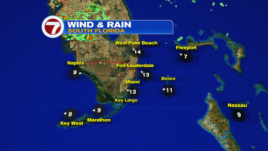
The region is still dry although from Lake Okeechobee westward, some areas of rain and even thunderstorms formed. There’s a division of drier air south (specifically south of a weak, stalled front expected to fizzle Thursday morning). What does that leave us with? High Pressure which gets reestablished on either side of the state.
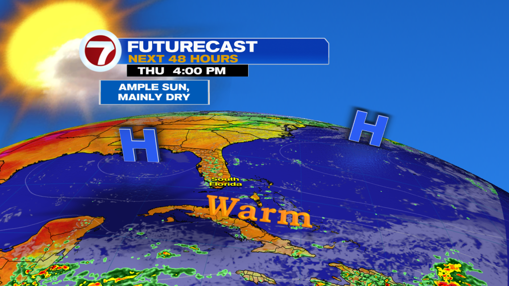
If you have outdoor plans on Thursday, you won’t be disappointed with the weather conditions. It’s another nice day with just a 10% chance of a small spotty shower. Meanwhile, the onshore flow conditions. Enjoy it, as there are changes in sight! “Spoiler Alert” here’s a sneak preview of what might be an unpopular change of pace (shown below).
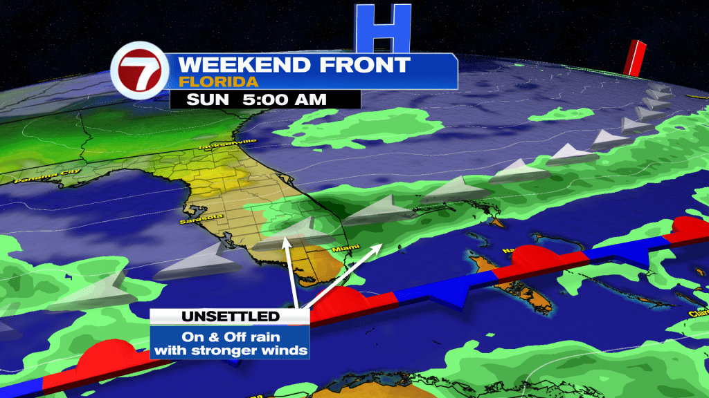
While we’re not entirely sure how far south a future Front gets, one is coming from the north and (most likely) stalling nearby or immediately south. Will it matter much? Not really. We’ll still eventually connect into more moisture around the base of distant, strong High Pressure. The High sets up along the eastern seaboard and strengthens over the western Atlantic Ocean. That will get local waters stirring with windy times for the second half of the weekend. Gusty showers will be possible, so prepare for periods of unsettled weather. Hopefully it WON’T “put a damper” on the Party known as Ultra Music Fest, the big annual event. The latest forecast calls for a decent START to the event, at least.

Copyright 2026 Sunbeam Television Corp. All rights reserved. This material may not be published, broadcast, rewritten or redistributed.
Join our Newsletter for the latest news right to your inbox