
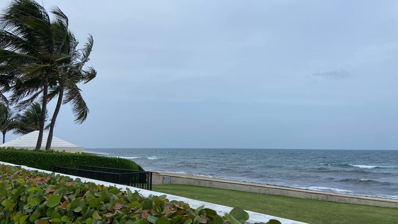
West Palm Beach, FLA. (WPEC) — A fast-moving cold front is bringing a burst of rough weather to Florida, with strong winds, dangerous surf, and increasing rain chances through the weekend.
Winds are the biggest concern today, especially along the east coast. Sustained winds of 20 to 30 miles per hour are expected, with gusts up to 40 mph. A wind advisory will go into effect at 2 p.m. for Martin, St. Lucie and Indian River County. For inland communities, expect winds out of the northeast from 10-20 mph with gusts up to 30 mph and the wind advisory will expire 2 a.m. Sunday. For coastal communities, expect winds out of the northeast from 15-25 mph with gusts up to 40 mph and the wind advisory will expire 4 p.m. Sunday.
Those winds are also creating very rough ocean conditions. Large waves, potentially reaching 7 to 12 feet, will make the surf dangerous. There is also a high risk of rip currents, which are powerful currents that can pull swimmers away from shore. Entering the ocean is strongly discouraged this weekend for both swimmers and boaters.
Rain chances will increase as the front moves through. While much of the morning may stay dry, scattered showers will develop later today and into Sunday. A few thunderstorms are possible, bringing brief heavy rain, gusty winds, and lightning. However, storms are expected to remain isolated.
Despite the arrival of the front, temperatures will still feel warm today, especially south of Orlando, where highs could reach the mid to upper 80s. Cooler air moves in by Sunday, with highs dropping into the 70s.
Looking ahead to next week, the front stalls and weakens, while high pressure builds back over the Atlantic. This will keep an onshore breeze, winds coming in from the ocean, in place, along with occasional showers, especially early in the week. Rain chances will gradually decrease by midweek, while temperatures begin to climb again, returning to above-normal levels by Wednesday.