
ORLANDO, Fla. – Warm temperatures and a low chance of isolated passing showers are in the works for our Tuesday in Central Florida.
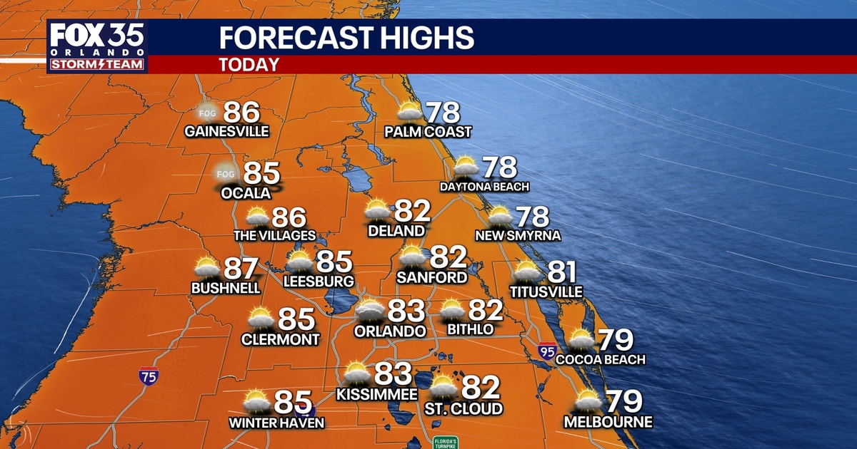
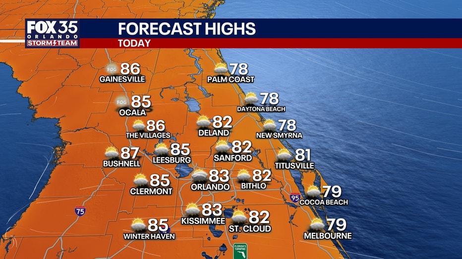
Afternoon highs will reach the upper 70s at the beaches and will climb into the mid 80s inland.
CLICK TO DOWNLOAD THE FOX LOCAL APP
We’ll expect a mix of sunshine and clouds throughout the day along with a few showers courtesy of an onshore flow.
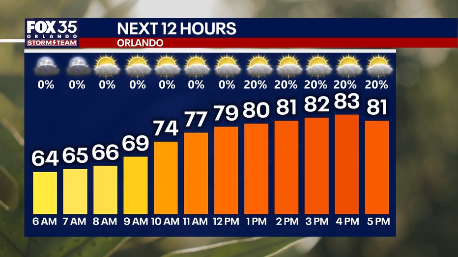
Overall, rain chances are low at 20%. Any showers that do form will be very light, plus they’ll be few and far between. These will take place after lunchtime and will fizzle out near sunset tonight.
Partly cloudy skies continue overnight. Temperatures will be comfortable, as morning lows fall into the low and middle 60s.
SIGN-UP FOR FOX 35’S BREAKING NEWS, DAILY NEWS NEWSLETTERS
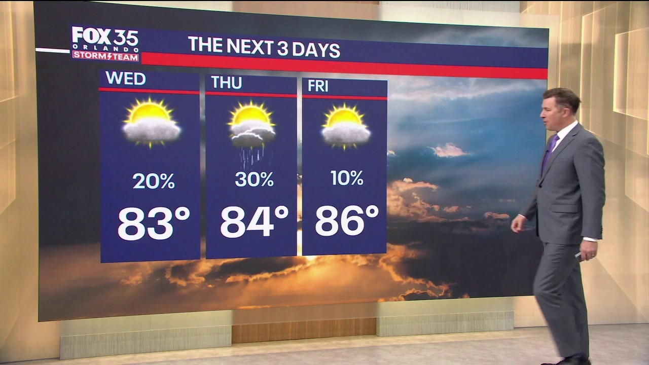
Temperatures this week and into the weekend will stay in the mid 80s for highs.
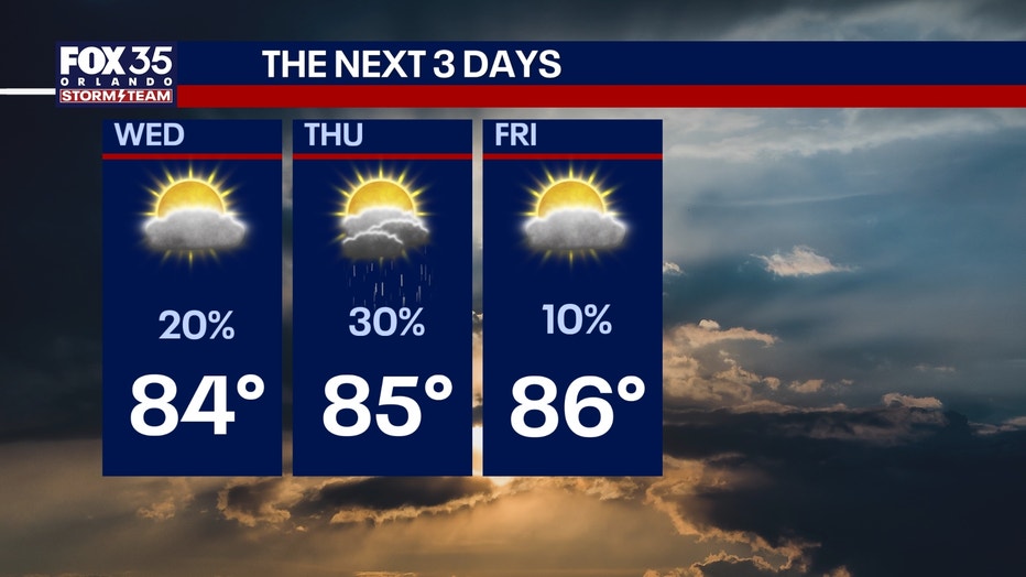
Our onshore wind continues as well, keeping skies partly cloudy with intermittent sunshine. This onshore flow will also keep spotty showers in the forecast.
While it won’t be a washout, isolated to scattered showers and storm chances will stick with us just about every day this week.
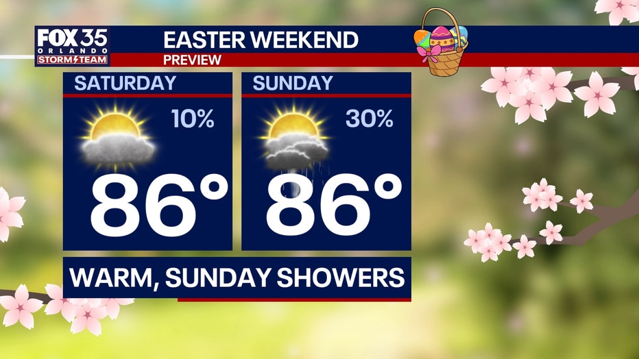
For Easter Sunday, the data points to a dry morning for Easter egg hunting plans. However, building moisture out ahead of a cold front next week is set to bring the chance of scattered showers on Sunday afternoon.
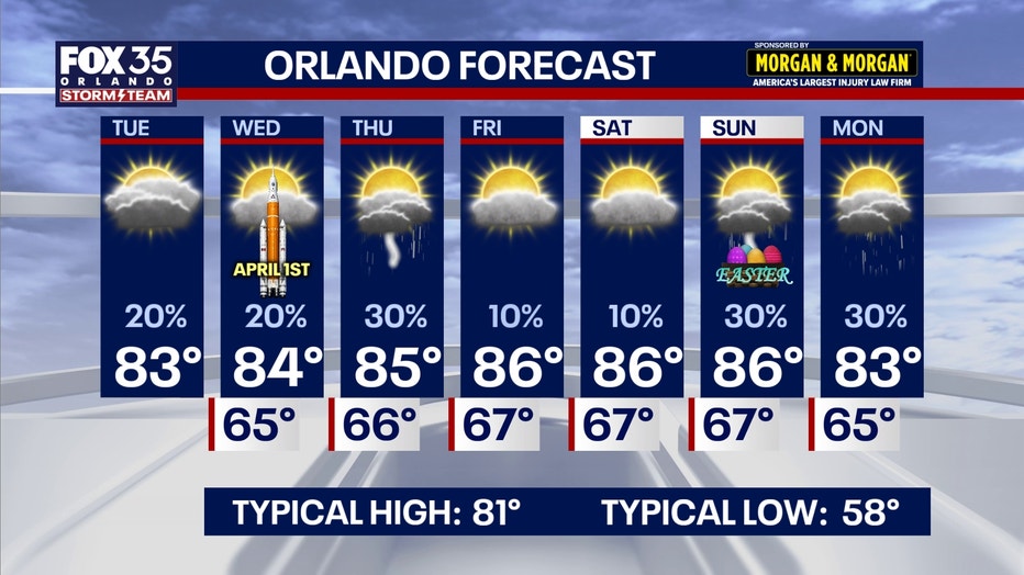
A pattern change early next week will arrive with the aforementioned cold front. This will help increase shower and storm chances for early parts of next week along with a slight dip in temperatures as highs return to the 70s.
The Source: This story was written with information for the FOX 35 Storm Team.