
TALLAHASSEE, Fla. (WCTV) – Pop-up showers will stay in the forecast this week, mainly during the afternoon and evening.
Tonight Through Tuesday Night
An isolated shower is possible for Monday evening, but the activity will fade away after sunset. Lows settle in the low-60s by Tuesday morning under a partly cloudy to mostly clear sky. Some patchy fog cannot be ruled out.
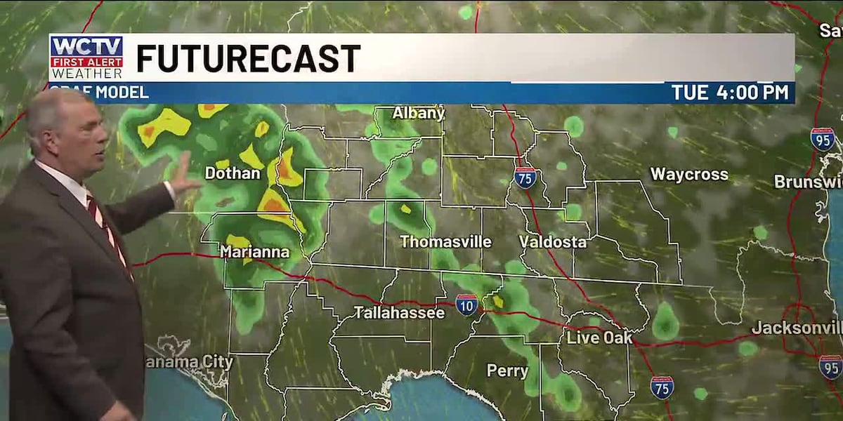
The forecast on Tuesday is very similar to Monday. The first half of the day will be dry under some sunshine. Highs climb into the low-and-mid-80s. During the peak heating of the day, a few showers and thunderstorms are possible, but it will not rain for everyone.
Again, convection will dissipate after sunset, and we are mostly quiet for Tuesday night. Lows fall into the low-60s under a partly cloudy sky. Some dense fog is possible.
Middle Of The Week
Our taste of summer will continue for midweek.
Isolated showers are possible during the afternoon and evening for Wednesday and Thursday, but the coverage is not impressive.
Temperatures hover in the mid-80s under a mix of Sun and clouds.
Lows bottom out in the low-60s.
Extended Forecast
The weather pattern does not change much to end the week.
A few showers are possible on Friday under a partly cloudy sky. Temperatures hover in the mid-80s, and lows settle in the low-to-mid-60s.
We are looking warm to kick off Easter weekend. Highs on Saturday hover in the mid-to-upper-80s under some sunshine. Again, an isolated shower is possible, but rain chances stay rather low. Lows dip into the low-60s.
To stay updated on all the latest forecasts and weather, follow WCTV First Alert Weather on Facebook and X (Twitter).
Click here to see all the latest weather headlines and here to view the First Alert Radar. Receive push alerts and watch the latest forecast anytime on the free WCTV First Alert Weather app. Click here to download it now.
Interested in becoming a WCTV First Alert Weather Watcher? Click here to join the team!
Copyright 2026 WCTV. All rights reserved.