
TALLAHASSEE, Fla. (WCTV) – Scattered showers and a few thunderstorms are possible to end the weekend and start the work week.
Tonight Through Monday Night
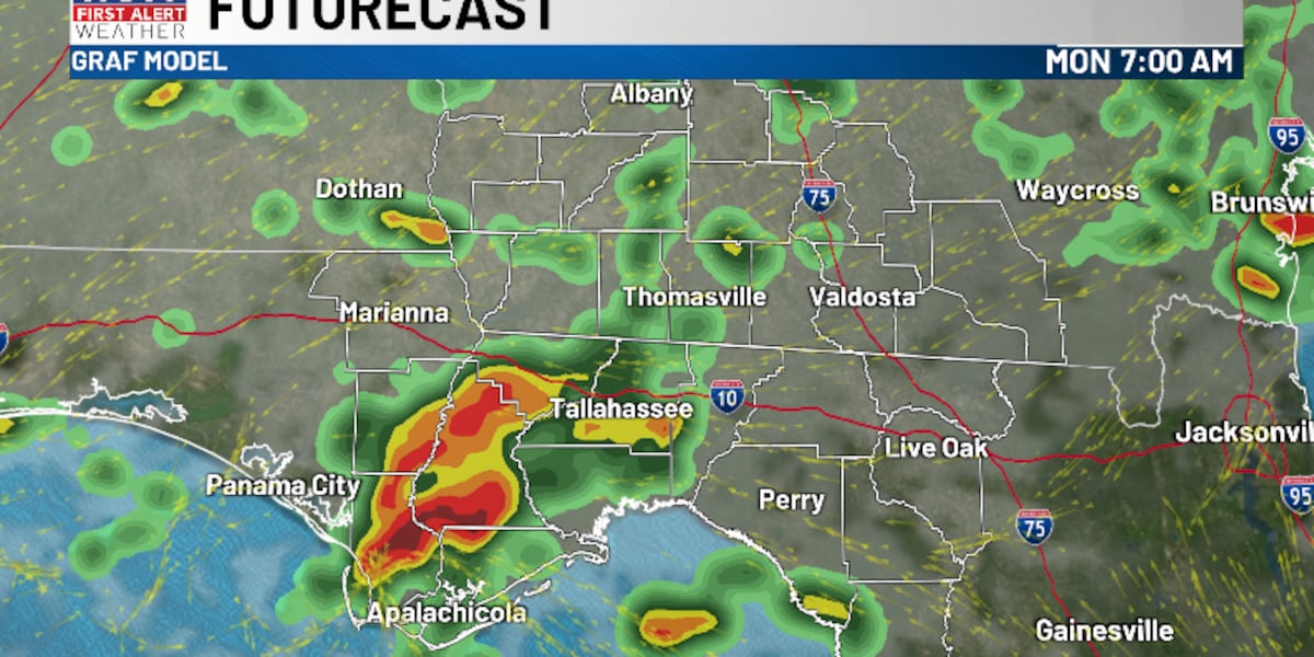
A mild, muggy night is on tap across the region. Overnight lows only fall into the mid-and-upper-60s under a mostly cloudy sky. Hit-or-miss showers and thunderstorms are possible.
Scattered downpours will linger into Monday morning, so you may need the umbrella as you walk out the door. We are expecting a drying trend for the second half of the day. A few leftover showers are possible for the afternoon and evening, but the rain coverage should be much lower.
Highs on Monday top out in the mid-70s under a partly sunny sky.
We stay partly to mostly cloudy for Monday night. An isolated shower is possible. Lows bottom out in the upper-50s.
Tracking Another Cold Front
Tuesday is looking mostly dry and mostly cloudy. An isolated shower is possible, but rain chances stay rather low. Temperatures top out in the low-70s, and lows fall into the low-50s.
We are anticipating another cold front to move across the region on Wednesday. As a result, spotty showers are looking possible under a mix of Sun and clouds. Highs hover in the low-70s, and lows settle in the upper-40s.
Extended Forecast
Behind this Wednesday front, we are tracking some drier, chilly weather to end the work week.
Highs on Thursday stay in the mid-and-upper-60s under a mix of Sun and clouds. Lows fall into the low-40s.
We stay dry and sunny on Friday. Highs top out in the upper-60s, and lows dip into the low-40s.
To stay updated on all the latest forecasts and weather, follow WCTV First Alert Weather on Facebook and X (Twitter).
Click here to see all the latest weather headlines and here to view the First Alert Radar. Receive push alerts and watch the latest forecast anytime on the free WCTV First Alert Weather app. Click here to download it now.
Interested in becoming a WCTV First Alert Weather Watcher? Click here to join the team!
Copyright 2025 WCTV. All rights reserved.