
TALLAHASSEE, Fla. (WCTV) – A cold front will bring some changes to the weather over the next few days.
An Egg-cellent start to your Easter
Easter morning, the egg hunts will be near PERFECT weather. Partly to mostly sunny with temperatures in the low 60s. A little humid.
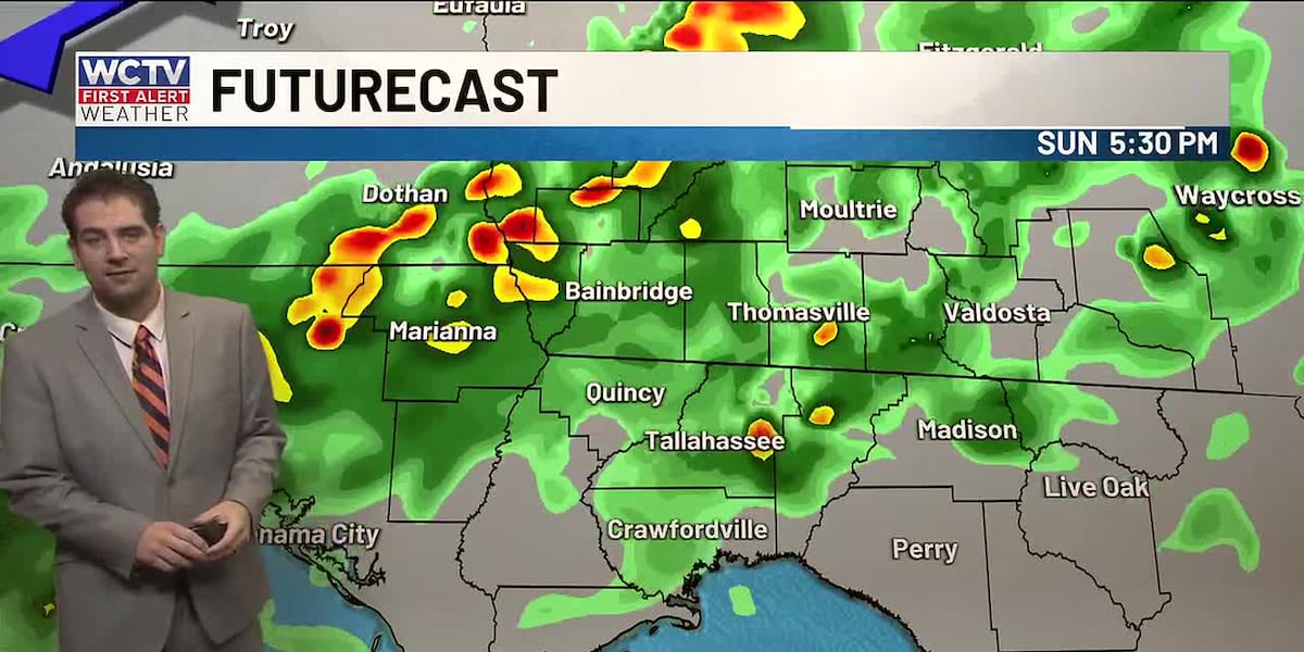
Clouds increase through the afternoon ahead of a cold front. That will clash with the Atlantic and Gulf sea breeze boundaries. While rain coverage does not look widespread, about half of the region will see some rain and storms, while others will continue to miss out on the rain. Given the exceptional drought, we will take whatever rain we can.
For those eager to get out on the water. Rip current risk is still moderate to high tomorrow. Waves will be slightly lower between 1 and 2 feet, and only a light chop on protected waters and bays.
Cloudy start to next week
Clouds will stick around early next week. Temperatures are cooler behind the front in the low to mid 70s due to the thicker clouds. Rain will be isolated at best through midweek.
A good breeze will be around for much of next week, too, keeping the rip current risk high and dangerous boating conditions Tuesday through Thursday.
,
To stay updated on all the latest forecasts and weather, follow WCTV First Alert Weather on Facebook and X (Twitter).
Click here to see all the latest weather headlines and here to view the First Alert Radar. Receive push alerts and watch the latest forecast anytime on the free WCTV First Alert Weather app. Click here to download it now.
Interested in becoming a WCTV First Alert Weather Watcher? Click here to join the team!
Copyright 2026 WCTV. All rights reserved.