

You may want to ditch the umbrella and don a raincoat during the next few days.
Thanks to a slow-moving weather system stalled over the Florida peninsula, the Orlando area will see an unusually high amount of rain for April through Thursday — with blustery conditions to boot. Wind gusts are expected to reach above 30 mph on Wednesday.
That’s enough to break small branches, topple lawn furniture and make it a challenge to keep an umbrella open and in shape.
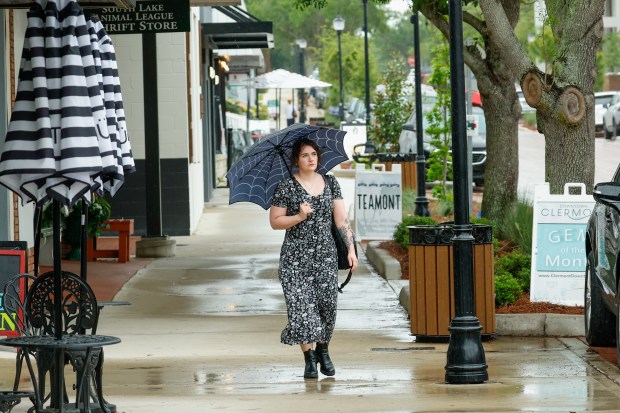 Micaela Jones keeps dry under an umbrella during a rainy walk in downtown Clermont on Tuesday, April 7, 2026. (Rich Pope/Orlando Sentinel)
Although most of the rain will be off and on throughout Wednesday and Thursday, quick heavy downpours could drop more than an inch of rain in some spots, causing localized flooding, according to the National Weather Service in Melbourne.
“We can’t rule out four inches or greater in certain areas,” said Megan Tollefsen, a meteorologist with the NWS. And “it will be very, very breezy” on Wednesday and Thursday.
Already, heavy rain starting Sunday evening caused flooding on a section of Interstate 4 in Osceola County, shutting down the major highway for several hours. State highway officials are moving pumps to that area and taking other precautionary measures as the wet weather continues.
In Orlando’s core, the rains are expected to drop up to half an inch. And the cloudy sky cover will keep Wednesday’s high temperature to a cool 73 degrees.
The showers and thunderstorms will continue through the night, and wind gusts will again reach over 30 mph.
“By Thursday, things will start to turn around quite a bit,” Tollefsen said.
Thursday’s forecast calls for partly sunny skies and likely showers. But wind gusts will ease to under 30 mph.
“Then by Friday, we’re looking at a little drier weather,” Tollefsen said.
Saturday calls for mostly sunny skies and high temperature in the lower 80s, giving soaked Orlando residents a perfect spring day.
April in Central Florida is commonly one of the drier months of the year before summer rains, showing itself instead with brown lawns, wilting bushes, burning forests and smoky skies.
As of last Thursday, the Central Florida region faced between moderate and severe drought conditions, according to the U.S. Drought Monitor.
Normally, Orlando receives 2.58 inches of rain for the entire month of April, according to NWS records from the Orlando Executive Airport. But last year, Orlando received a scant 0.37 inches of rain for the entire month and faced a severe drought.
But this April, downtown Orlando received 1.28 inches of rain in just the first six days, more than two-and-a-half times more than the normal amount of 0.52 inches through the same period.
The unusually rainy month has given lawns, bushes and landscapes that survived the freezing weather of late January and early February a much-needed thirst quenching.
Still, Orlando is far from a record amount of rainfall. In 1992, the region received 9.10 inches of rain in April. The driest April was way back in 1896, when not even a trace of rain fell.
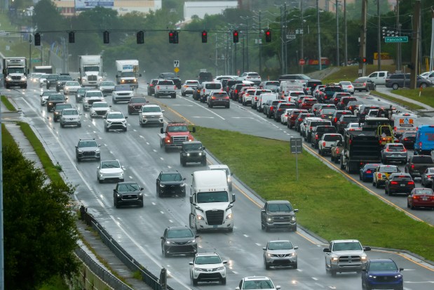 Dreary weather and a steady drizzle greet drivers during the lunch hour on Highway 50 in Clermont on Tuesday, April 7, 2026. (Rich Pope/Orlando Sentinel)
Monday’s flooding on I-4 closed both directions of the interstate near World Drive after heavy overnight rainfall, causing major delays in one of the busiest sections of the interstate.
With more rain forecast, the Florida Department of Transportation is trying to avoid a repeat, said Mary Cox, spokesperson for the road agency.
“Teams have taken additional steps to further prepare, including inspecting and clearing drainage systems, staging pumps, and closely coordinating with FHP,” Cox said in an email. “Drivers are encouraged to check Florida 511 for real-time travel conditions, including road closures and detours.”