
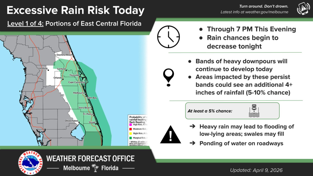
East Central Florida is at risk for excessive rain.
Locally heavy rainfall has already occurred at the coast over the past 48 hours, according to NWS Melbourne.
Additional slow-moving bands of heavy rainfall will continue to possible through the evening, which could lead to localized flooding.
There is a chance of showers and thunderstorms before 11 a.m., showers and a possible thunderstorm between 11 a.m. to 5 p.m., then a chance of showers and thunderstorms after 5 p.m.
A high rip current risk will lasts through the weekend, while dangerous surf lasts through early Friday.
Conditions along the coast are windy, with an advisory in place through 7 p.m., according to NWS Melbourne.