
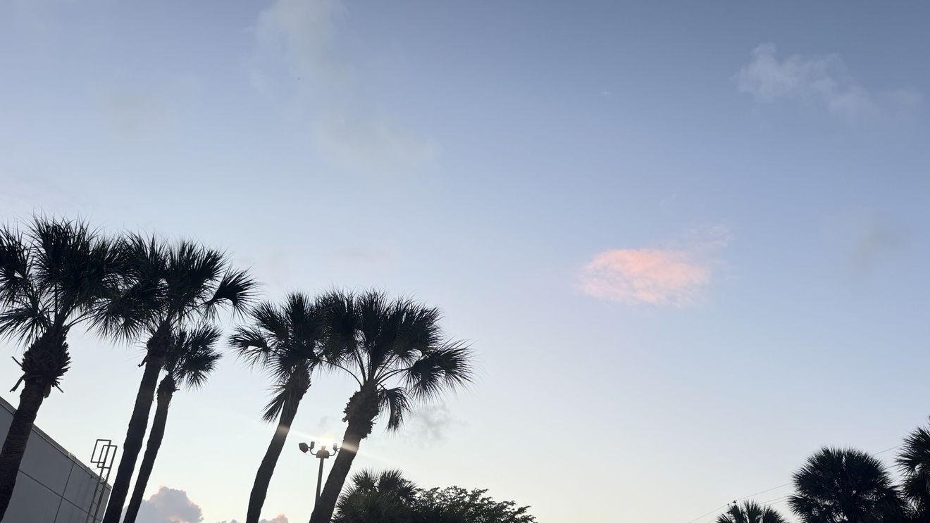
West Palm Beach, FLA. (WPEC) — Gusty winds will remain the main weather story across South Florida through the weekend and into early next week.
A strong area of high pressure to the north is keeping a steady east-northeast breeze in place. That means continued gusty conditions, especially along the Atlantic coast, where winds will be most noticeable over the next few days.
Despite the wind, the overall weather pattern is fairly quiet. Dry air has settled into the region, which will keep rain chances very low. A brief, fast-moving coastal shower is possible at times, but most areas will stay dry through the weekend.
Temperatures will vary depending on location. Along the east coast, highs will reach the upper 70s to low 80s, while inland communities will be warmer, climbing into the mid to upper 80s.
This pattern holds into early next week, with high pressure continuing to dominate. Winds will stay breezy through at least Tuesday before gradually easing later in the week.
At the same time, temperatures will slowly climb. By the middle to end of next week, inland areas could reach the upper 80s to low 90s, while the east coast warms into the mid-80s.