
JACKSONVILLE, Fla. — Notes from the First Alert Weather team:
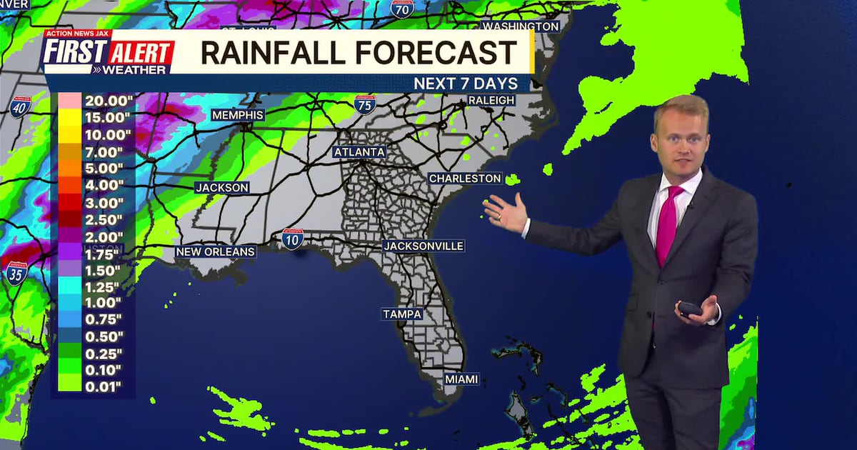
Sunday morning is chilly with temperatures ranging from the upper 40s in southeast Georgia to the 50s in northeast Florida.Patchy fog is possible through sunrise.Temperatures will quickly warm on Sunday into the middle 80s inland and upper 70s along the coast.Onshore winds will continue to pose an elevated risk for rip currents at all local beaches.The next 7+ days are completely dry and increasingly warm.The ongoing drought will worsen, and the wildfire threat will increase.
First Alert Weather 7-day forecast:
SUNDAY: Mostly sunny. HIGH: 80
SUNDAY NIGHT: Mostly clear, some fog late. LOW: 58
MONDAY: Partly cloudy. 58/81
TUESDAY: Mostly sunny. 61/84
WEDNESDAY: Mostly sunny. 61/86
THURSDAY: Mostly sunny. 62/88 (Record: 90 – 1972)
FRIDAY: Mostly sunny. 62/90 (Record: 93 – 1967)
SATURDAY: Mostly sunny. 62/89 (Record: 94 – 1967)

WATCH THE FORECAST | DOWNLOAD THE APPS
Follow Action News Jax Meteorologists on Twitter for updates:
Mike Buresh | Garrett Bedenbaugh | Corey Simma | Trevor Gibbs
ALLERGY TRACKER: See what the pollen counts look like in our area
LISTEN: Mike Buresh ‘All the Weather, All the Time’ Podcast
INTERACTIVE RADAR: Keep track of the rain as it moves through your neighborhood
SHARE WITH US: Send us photos of the weather you’re seeing in your area ⬇️