

West Palm Beach, FLA. (WPEC) — Breezy conditions will stick around across South Florida today, with the strongest winds focused along the coast.
Wind gusts of 25 to 30 mph are expected near the Atlantic, while inland areas will also see noticeable breezes. These winds are being driven by strong high pressure over the region, which is also keeping conditions dry.

Gusty winds and climbing temperatures continue across South Florida. (WPEC)
In fact, very dry air is in place for this time of year, helping to prevent rain and allowing temperatures to steadily climb. Aside from a stray brief shower, most areas will remain dry through at least Tuesday.
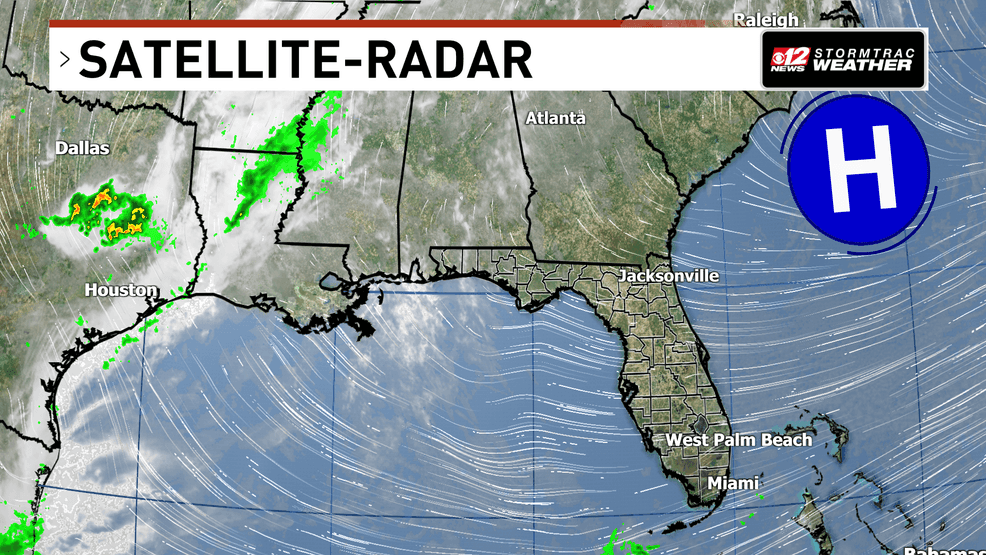 Gusty winds and climbing temperatures continue across South Florida. (WPEC)
Temperatures will continue to show a split across the region. Along the east coast, highs today will reach the upper 70s to low 80s, while inland areas will warm into the middle 80s. By Tuesday, temperatures rise a few more degrees, with low 80s along the east coast and even warmer inland.
This warming trend continues through the week. By midweek, parts of the area could reach the low 90s, while the east coast climbs into the mid to upper 80s.
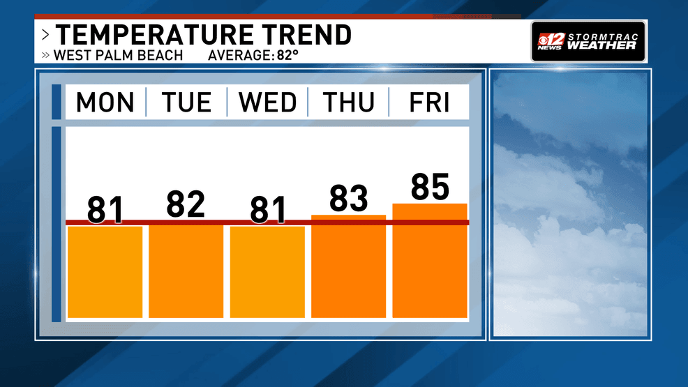
Gusty winds and climbing temperatures continue across South Florida. (WPEC)
Winds will gradually ease as the week goes on, but the dry pattern will remain in place.
Looking ahead, there are early signs that a weak disturbance could approach by the end of the week or into the weekend, possibly bringing a slight increase in showers. However, for now, the dominant trend is warm, dry, and gradually less breezy weather across South Florida.