
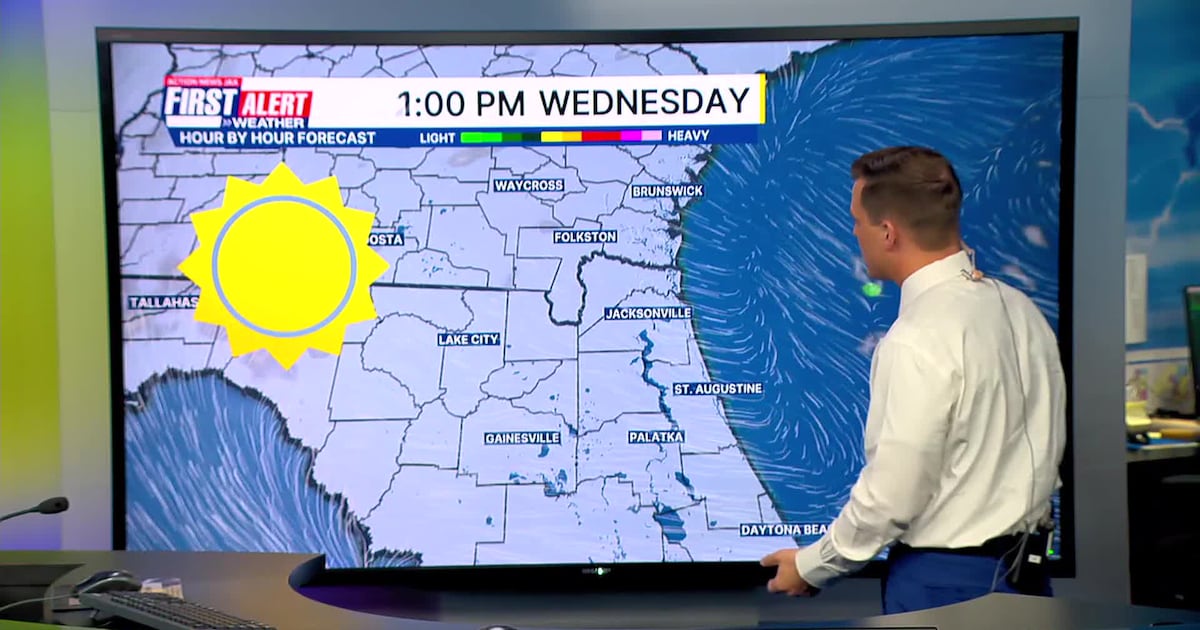
JACKSONVILLE, Fla. — This morning will be dry with temperatures in the 50s inland and 60s along the coast.
Patchy inland fog is possible through sunrise to 8 a.m.Temperatures will quickly warm today into the mid 80s in Jacksonville and upper 80s to lower 90s west of Highway 301. Highs will be in the upper 70s to lower 80s along the coast.No significant rainfall is expected over the next 7 days.The ongoing drought will worsen, and the wildfire threat will increase.Near record highs by the upcoming weekend.Next cold front looks mainly dry but will decrease temperatures by Monday.
TODAY: Some patchy AM fog. Mostly sunny. HIGH: 86
TONIGHT: Mostly clear. LOW: 59
THURSDAY: Mostly sunny. 58/88 (Record: 90 – 1972)
FRIDAY: Mostly sunny. 62/90 (Record: 93 – 1967)
SATURDAY: Mostly sunny. 65/92 (Record: 94 – 1967)
SUNDAY: Partly sunny. 63/92 (Record: 92 – 1995)
MONDAY: Partly cloudy and breezy. Cooler. 63/74
TUESDAY: Mostly sunny and breezy. 53/78

WATCH THE FORECAST | DOWNLOAD THE APPS
Follow Action News Jax Meteorologists on Twitter for updates:
Mike Buresh | Garrett Bedenbaugh | Corey Simma | Trevor Gibbs
ALLERGY TRACKER: See what the pollen counts look like in our area
LISTEN: Mike Buresh ‘All the Weather, All the Time’ Podcast
INTERACTIVE RADAR: Keep track of the rain as it moves through your neighborhood
SHARE WITH US: Send us photos of the weather you’re seeing in your area ⬇️