
Ready for the heat Central Florida? Forecast: Saturday 4/18
Track the temperatures and upcoming trend with meteorologist Victoria Wisniewski
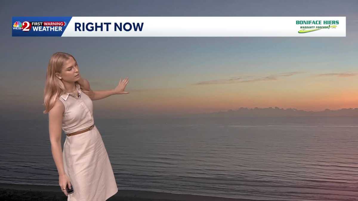
ALL RIGHT. WELL, IT’S GOING TO BE WARM AS WE DO. HEAD INTO JEEP BEACH WEEK. SO FOR TODAY AND TOMORROW IT’S GOING TO BE IN THE UPPER 80S ALONG THE COASTLINE. BUT THEN BY MONDAY WE ARE GOING TO BE LOOKING AT A COLD FRONT, WHICH WILL COOL US DOWN A LITTLE BIT. BOTH THE COASTLINE AND AREAS FURTHER INLAND ARE GOING TO LOOK AT THE UPPER 70S. SOME LOCATIONS COULD REACH UPWARDS OF 80 DEGREES, BUT IT’S GOING TO BE A MUCH DIFFERENT PICTURE AS WE HEAD THROUGH THE NEXT COUPLE OF DAYS. THOSE MINIMAL RAIN CHANCES TOMORROW, MAYBE AN ISOLATED SHOWER ALONG THE COASTLINE. MONDAY. 20% CHANCE OF RAIN. SO NOT ENOUGH TO REALLY HELP US WITH OUR DROUGHT CONDITIONS OR OUR FIRE DANGER. YOU SEE, MODERATE FIRE DANGER ACROSS MOST OF CENTRAL FLORIDA. POLK COUNTY, THOUGH, COMING IN WITH HIGH FIRE DANGER. AND WE CERTAINLY NEED THE RAIN TO REDUCE THAT RISK. TAKE A LOOK AT YOUR CERTIFIED, MOST ACCURATE SEVEN DAY FORECAST ACROSS CENTRAL FLORIDA. YOU’LL NOTICE MONDAY THAT RAIN CHANCE OF 20%. BUT EXTENDED FORECAST DOES NOT HAVE ANY SHOWERS. SO WE WILL BE WATCHING THAT FIRE DANGER RISK, BUT ALSO THE CONDITIONS THAT ARE GOING TO BE BELOW AVERAGE FOR THIS TIME OF YEAR. WE’RE NORMALLY AROUND 84 DEGREES FURTHER INLAND, BUT WITH THE UPPER 70S AND LOW 80S, WE WON’T SEE THE MID 80S UP UNTIL THURSDAY, MAYBE FRIDAY ACROSS THE SUNSHINE STATE, YOU’LL NOTICE BEAUTIFUL SKIES ALONG OUR COASTLINE, BUT A LITTLE BIT OF FOG COMING IN TITUSVILLE AT THIS HOUR, REDUCING SOME VISIBILITY. BUT IT IS BEAUTIFUL. 64 DEGREES AT THIS HOUR. 63 IN DAYTONA BEACH AND 63 IN THE VILLAGES, 67 TOWARDS LEESBURG, A LITTLE WARMER. FURTHER INLAND, YOU CAN SEE THAT THERE IS SOME IMPROVEMENT IN THE TITUSVILLE VISIBILITY, BUT NOW AREAS CLOSER TO THE COASTLINE ARE STILL KIND OF STRUGGLING. BUT THAT WILL LIFT OFF IN ABOUT THE NEXT HOUR OR TWO. YOU NOTICE OUR FIRST WARNING LIVE RADAR ALSO NICE AND CLEAR. IT IS A DRY MORNING. AND FOR THE FORECAST TODAY AND EVEN TOMORROW. YES, WE’RE TALKING ABOUT THE HEAT, BUT IT IS GOING TO BE A MOSTLY DRY DAY AND A DRY WEEKEND. 86 DEGREES TODAY AROUND 1 P.M. AND 89 BY 3 P.M. WITH THIS AFTERNOON. AREAS FURTHER INLAND LOOKING AT THE VILLAGES. AREAS OF LEESBURG, MAYBE CLERMONT. YOU GUYS WILL BE SOME OF THE WARMEST AREAS WHILE THE COASTLINE STILL COMES IN. SOME OF US AROUND 79 DEGREES IN THE PALM COAST, BUT THEN MID 80S NEAR DAYTONA AND NEW SMYRNA BEACH. SO THERE IS GREAT CONDITIONS, BUT CERTAINLY STILL WATCHING MODERATE RIP CURRENTS ALONG THE COASTLINE. SO BE SURE TO BE AWARE IF YOU’RE HEADING TO THE COASTLINE, MAYBE FOR BEACH WEEKEND OR ANYTHING, THAT THERE WILL STILL BE SO
Ready for the heat Central Florida? Forecast: Saturday 4/18
Track the temperatures and upcoming trend with meteorologist Victoria Wisniewski

Updated: 6:38 AM EDT Apr 18, 2026
This morning, we are near the end of the warm-up across the Sunshine State. Today, a high of 91 is forecasted in Orlando, with several locations further inland coming in as warm as 93 degrees; expect the coastline to be several degrees cooler.Mostly sunny skies are forecasted with dry conditions expected to extend into Sunday.
ORLANDO, Fla. —
This morning, we are near the end of the warm-up across the Sunshine State. Today, a high of 91 is forecasted in Orlando, with several locations further inland coming in as warm as 93 degrees; expect the coastline to be several degrees cooler.
Mostly sunny skies are forecasted with dry conditions expected to extend into Sunday.